
What is recorded here
Indicated is a collapsed stone ringfort in level pasture above Dunmanus Bay, its sub-circular outline still marking a small lived world. The wall falls away from the west through the south, while a straight field boundary cuts across the southwest, as if human hands drew both a round room and a sharp edge beside it. People may have stood inside at dusk, watching the bay change colour, or kept animals within the stones when storms closed the sky.
In level pasture overlooking Dunmanus Bay. Sub-circular area (15.6m N-S; 13.5m E-W) enclosed by collapsed stone wall WNW->S; straight stone-built field boundary to SW. Known locally as "fort".
The above description is derived from the published 'Archaeological Inventory of County Cork. Volume 1: West Cork' (Dublin: Stationery Office, 1992). In certain instances the entries have been revised and updated in the light of recent research.
Date of upload/revision: 14 January 2009
The monument record does not grant public access. Check the route and ask the landowner before entering private land.
- What survives
- Recorded monument
Places near here
 Tra Ruaim Fishing SpurWalking route · 244 yd
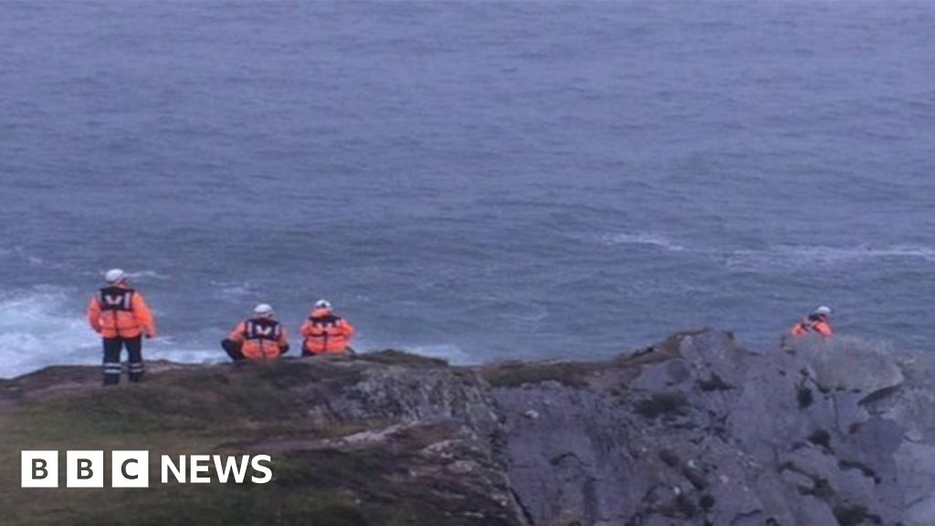 Drowning in Dunmanus BayMemorial · 250 yd
 Burial Gd (Disused)Burial ground · 523 yd
 ToberanoraneHoly well · 789 yd
 Sheep's Head - Caher LoopWalking route · 929 yd
 Caher MountainMountain / peak · 1.6 mi
 surgery/clinicsurgery/clinic · 2.5 mi
 Kilcrohane Ch(in rns)Church · 2.6 mi
 Nora DaltonMemorial · 2.6 mi
 Dunmanus BayBay · 2.8 mi
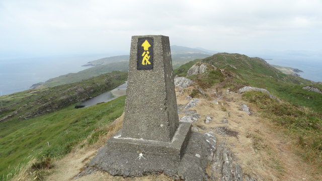 Ballyroon MountainMountain / peak · 3.0 mi
 Finn McCool's SeatViewpoint · 3.1 mi
Other information
Photo: Credit not shown in the picture search · Rights wording not checked; contact us if this picture should be removed