What is recorded here
Aerial photograph (GB89.X.11) shows the cropmark of a rectangular enclosure defined by a broad fosse and with opposing entrance causeways facing SE and NW. A rectangular annexe at W incorporates a circular structure.
Compiled by: Gillian Barrett
Date of upload: 12 December 2011
The monument record does not grant public access. Check the route and ask the landowner before entering private land.
- What survives
- Recorded monument
Places near here
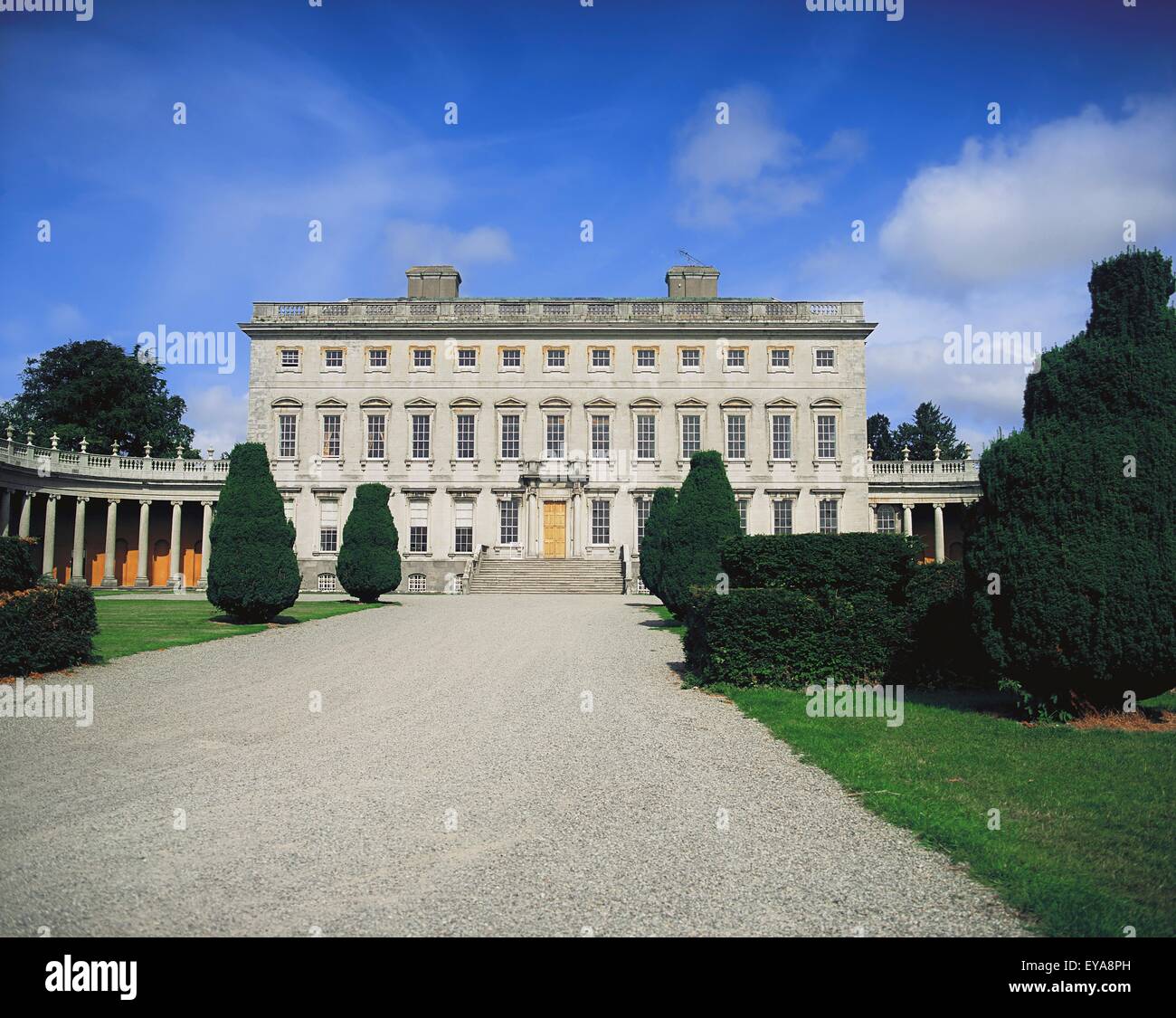 Enclosure in CoolroeEnclosure · 402 yd
 Enclosure in Woodstock NorthEnclosure · 701 yd
 Cardington Locklock · 1445 yd
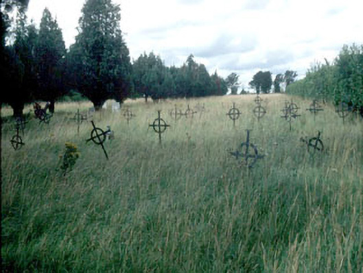 Saint Mary's Burial Groundgraveyard/cemetery · 1472 yd
 Woodstock Castle (in Ruins)Castle, hall-house · 1.2 mi
 Woodstock CastleRuins · 1.2 mi
 Gone FishingMemorial · 1.4 mi
 Ernest ShackletonMemorial · 1.5 mi
 Town HallMuseum · 1.5 mi
 Brackney WoodForest · 2.5 mi
 Scots PineScots Pine · 3.3 mi
 Cobbler's Castle WalkWalking route · 4.1 mi