What is recorded here
Indicated is a ruined stone ringfort on a western Clarence slope where hazel still chokes the interior and broken walls mark three chambers. It faces the wide Atlantic horizon, invites imagination, and resists easy explanation.
On a flat W-facing slope in rocky hazel-covered landscape with excellent views from WSW to NW. Indicated on the 1915 OS 6-inch map. Described by Westropp (1905, 349) as a caher ‘on a bold crag’ to the east of a hut site (CL004-065001-) with traces of other old walling around it.
A poorly preserved, overgrown cashel defined by a drystone wall which is best preserved externally (int. H 0.3m; ext. H 1.8m; Wth 1.1m) at the NE. The outer wall-face is visible from S to W and is best preserved between W and NW (H 1.8m; Wth 0.65m; int. H 0.7m). The interior is overgrown with hazel and two broad stone walls divide the interior into three and may be contemporary with the cashel. The W and NW extents of the interior are lower and filled with large stones. A gap at ENE (Wth 8m) is modern and piles of timber and stone are located to the N and S of it.
Compiled by: Mary Tunney and Lynda McCormack
Date of upload: 13 June 2022
The monument record does not grant public access. Check the route and ask the landowner before entering private land.
- What survives
- Recorded monument
Places near here
 CahernagrianFairy fort / stone ringfort · 806 yd
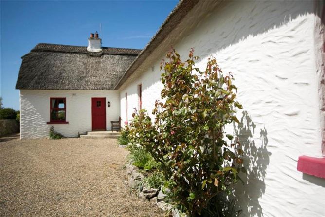 Enclosure in OughtdarraEnclosure · 897 yd
 ( Poulomega ? )Cave · 959 yd
 OughtdarraCliff · 1514 yd
 ( Polldonough ?)Cave · 1.0 mi
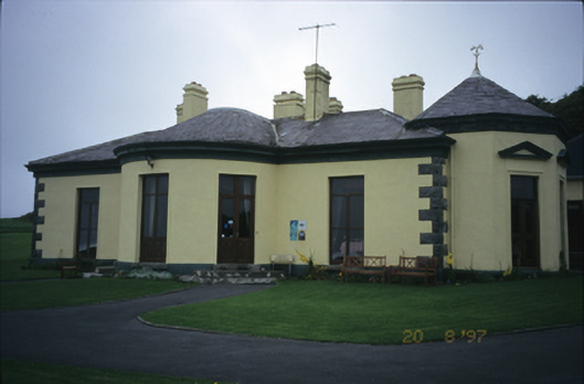 Ballinalacken Castlehouse · 1.1 mi
 BallyryanCliff · 1.3 mi
 Crumlin Church (in Ruins)Church · 1.4 mi
 The BurrenHeritage attraction · 1.4 mi
 Doolin Cave Visitor CentreHeritage attraction · 1.5 mi
 IndicatedEnclosure · 1148 yd
 Enclosure in Ballynahown,crumlinEnclosure · 1180 yd