What is recorded here
Indicated is a fairy fort in County Clare, an earthen ring where the boundary between human law and fantasy thins. Its name suggests measurement or marking, yet no visible instrument remains to explain the act. The clay may have swallowed a surveyor, a lover, or a child who ran too far during a game. Whatever disappeared there was large enough to leave a hole in the world and important enough to be named.
The Archaeological Survey of Ireland (ASI) is in the process of providing information on all monuments on The Historic Environment Viewer (HEV). Currently the information for this record has not been uploaded. To access available information for research purposes please make an appointment in advance with the Archive Unit (open Fridays 10.00 am – 5.00 pm), Department of Housing, Local Government and Heritage, The Custom House, Dublin 1 D01W6XO or email NMarchive@housing.gov.ie.
The monument record does not grant public access. Check the route and ask the landowner before entering private land.
- What survives
- Recorded monument
Places near here
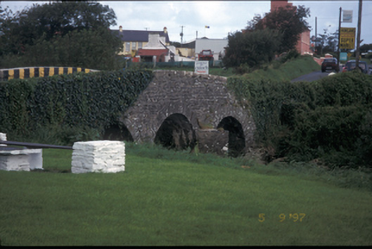 Creegh Bridgebridge · 1315 yd
 St Margarets WellHoly well · 1460 yd
 Saint Mary's Catholic Churchchurch/chapel · 1489 yd
 IndicatedEnclosure · 1730 yd
 Doughmore BeachBeach / strand · 2.7 mi
 Doonbeg Castle (in Ruins)Castle, tower house · 3.4 mi
 Doonbeg BayBay · 3.7 mi
 Doonmore CastleRuins · 3.9 mi
 White StrandBeach / strand · 4.5 mi
 Lurga PointHeadland · 5.4 mi
 Mutton IslandIsland · 6.1 mi
 The Museum of Irish Rural LifeMuseum · 6.8 mi