What is recorded here
Indicated is a circular earthen ringfort in County Cork pasture, holding a shallow external fosse and a low internal rise beneath a gentle south-west slope. Cattle may have walked across the top of its bank for centuries, unaware they were grazing the edge of a forgotten home. The field boundary now swallows the ancient shape, turning history into ordinary ground under hooves.
In pasture, atop slight rise, on gentle SSW-facing slope. Roughly circular area (39m E-W; 37m N-S) enclosed by earthen bank (H 0.55m; Wth 1.3m) W->N, incorporated into field boundary system; low rise (int. H 0.15m; ext. H 0.1m) N->W, with shallow external fosse (D 0.1m).
The above description is derived from the published 'Archaeological Inventory of County Cork. Volume 4: North Cork' (Dublin: Stationery Office, 2000). In certain instances the entries have been revised and updated in the light of recent research.
Date of upload/revision: 14 January 2009
The monument record does not grant public access. Check the route and ask the landowner before entering private land.
- What survives
- Recorded monument
Places near here
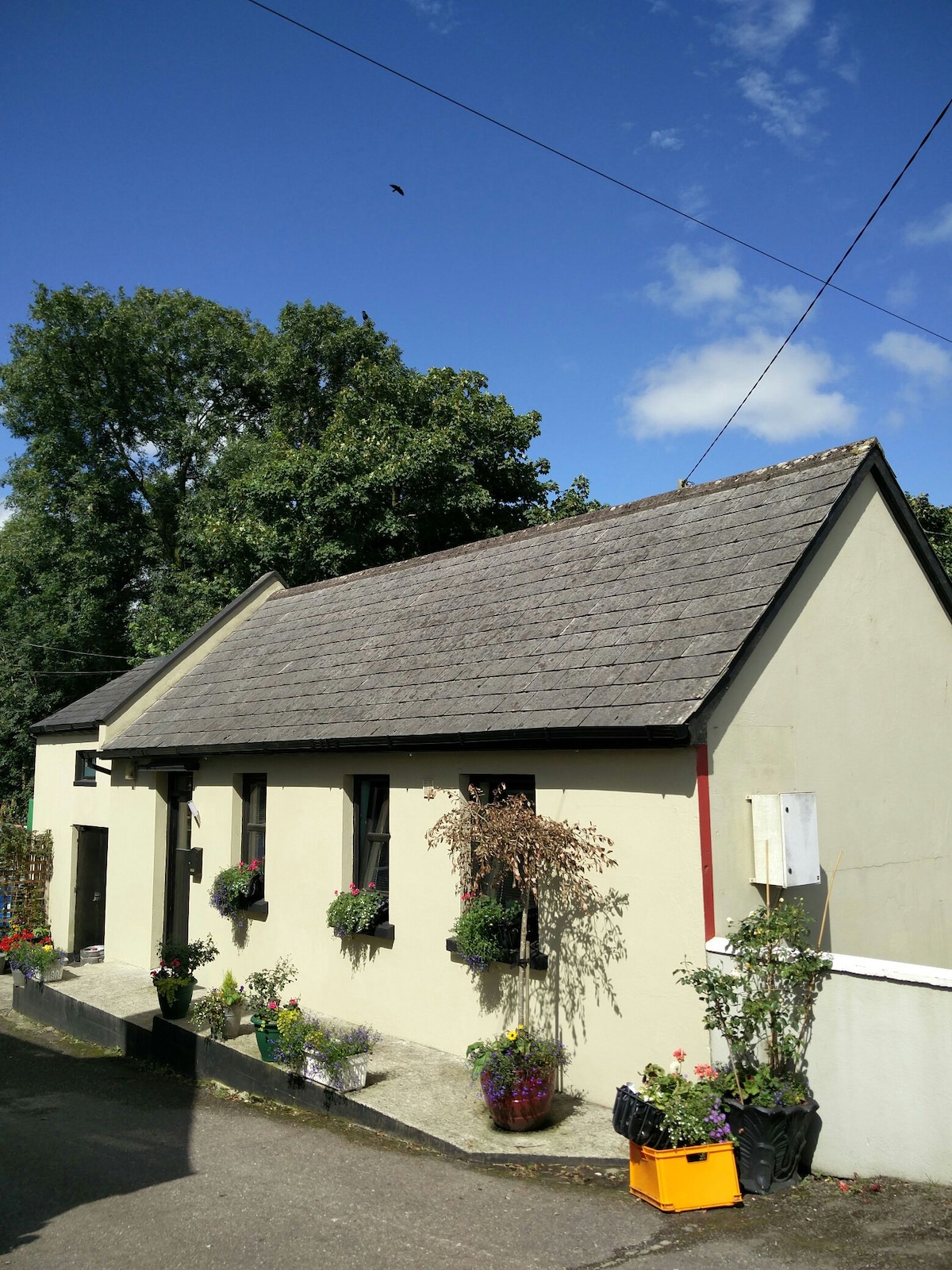 Enclosure in Ballynacarriga (condons and Clangibbon By.)Enclosure · 114 yd
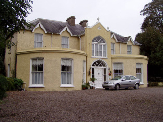 Rushmount Househouse · 281 yd
 Water millWater mill, horizontal-wheeled · 893 yd
 Man-made underground passage in Ballynacarriga (condons and Clangibbon By.)Man-made underground passage · 1023 yd
 Ballyhindon Castle (in Ruins)Castle, unclassified · 1333 yd
 Kilworth CastleCastle · 1.2 mi
 Glansheskin WoodVisitor information · 1.3 mi
 Glansheskin Forest Recreation AreaVisitor information · 1.4 mi
 Kilworth WoodWood · 1.5 mi
 FlagCave · 2.7 mi
 St Dominick's WellSpring · 3.8 mi
 Graveyard in BoherashGraveyard · 3.9 mi