What is recorded here
Roadside, 2-storey residential house. Hipped roof with two off-centre chimneys. Entrance front (S) of 3 bays: central rectangular door ope; sash windows. Side elevation 1-bay deep; modern addition to E elevation. One-storey addition to rear on E side, making overall plan L-shaped. Indicated on 1842 OS 6-inch map as L-shaped structure named 'Police Barrack'.
The above description is derived from the published 'Archaeological Inventory of County Cork. Volume 4: North Cork' (Dublin: Stationery Office, 2000). In certain instances the entries have been revised and updated in the light of recent research.
Date of upload/revision: 14 January 2009
The monument record does not grant public access. Check the route and ask the landowner before entering private land.
- What survives
- Recorded monument
Places near here
 Grave YardGraveyard · 216 yd
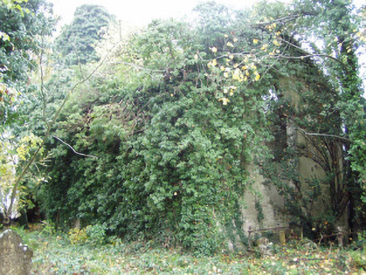 Rahan Churchchurch/chapel · 237 yd
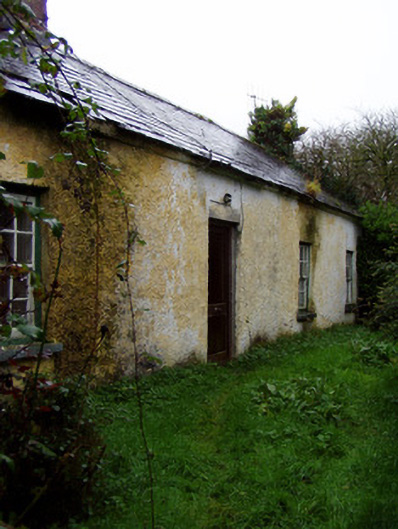 Churchview Cottagehouse · 313 yd
 Fulacht fia in CarrigoonFulacht fia · 1363 yd
 Lover's LeapCliff · 1.3 mi
 Lover' LeapCliff · 1.4 mi
 Mallow Town Park - Maple WoodsForest · 1.6 mi
 Carrig Castle (in Ruins)Castle, tower house · 1.7 mi
 Mallow Castle HouseCastle · 2.0 mi
 KnockarouraForest · 2.2 mi
 In loving memory of Elvis O'DonoghueMemorial · 2.8 mi
 Mallow River TrailVisitor information · 2.8 mi