What is recorded here
Indicated is a ruined stone ringfort in County Mayo, Ireland. Its oval border measures forty-four by fifty-one metres, enclosing uneven ground and a hidden underground passage at the southwest. The southern wall has vanished beneath a field fence above a sharp three-and-a-half-metre drop, while the northern stones still stand sixty centimetres high. People may have built the fort to keep out rain, wolves or neighbours, then left it to pasture and memory.
In rough pasture, on raised area. Oval-shaped area (44m N-S; 51m E-W), enclosed by poor remains of stone wall (H 0.6m; Wth 2m), levelled NE to SE. Field fence overlies wall on S, outside of which is sharp drop (H 3.5m) to field level. Interior overgrown, very uneven and contains clearance. Man-made underground passage (MA121-136002-) in SW of interior.
The above description has been derived from D. Lavelle (compiler), An Archaeological Survey of Ballinrobe and District including Lough Mask and Lough Carra. Lough Mask and Lough Carra Tourist Development Association (1994), No. 251.
Date of upload: 13 January 2015
The monument record does not grant public access. Check the route and ask the landowner before entering private land.
- What survives
- Recorded monument
Places near here
 IndicatedFairy fort / ringfort · 317 yd
 Killursagh Church in RuinsChurch · 444 yd
 Ballymacgibbon CairnArchaeological place · 447 yd
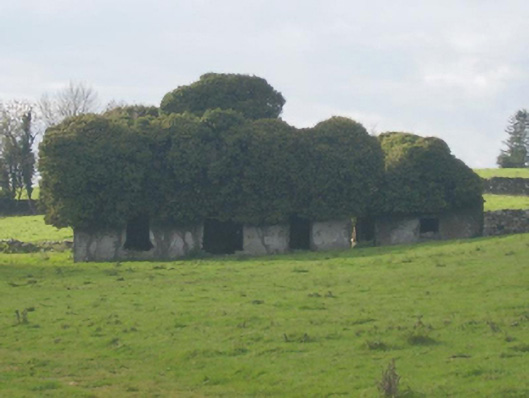 Ballymacgibbon Housefarm house · 610 yd
 Caherduff CastleCastle · 1.0 mi
 Easter IslandIslet · 1.1 mi
 Gibbs IslandsIslet · 1.2 mi
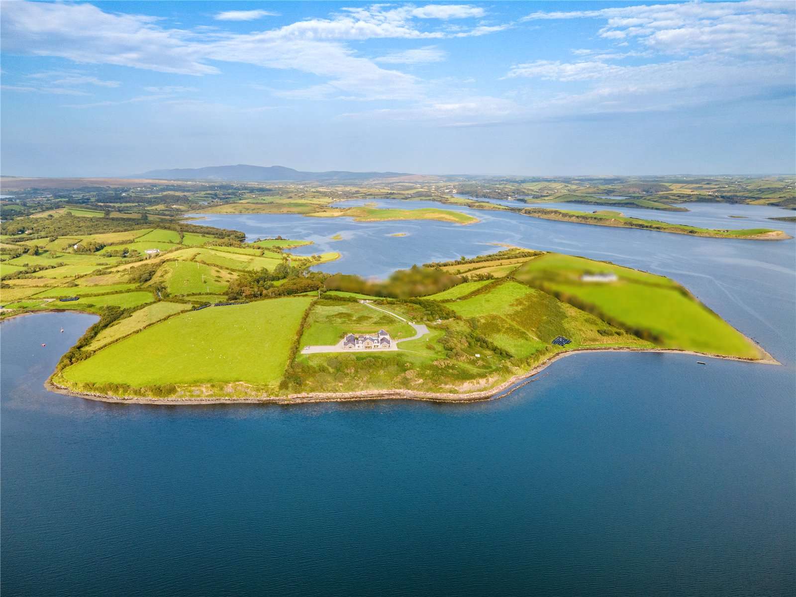 CastleCastle, tower house · 1.5 mi
 Kelly's CaveCave · 1.8 mi
 Cong AbbeyHeritage attraction · 2.1 mi
 European YewEuropean Yew · 2.1 mi
 Quiet Man MuseumMuseum · 2.2 mi