What is recorded here
Listed as 'enclosure' in the SMR (1987). Located in a slight valley, surrounded by low rises in rough outcropping land. There are traces of limestone quarrying in the immediate vicinity. A large house is visible c. 220m to SSW. Visible as an enclosure on oblique air photos taken in 2001 (ASIAP (274) 4, ASIAP (230) 22, ASIAP (274) 10, ASIAP (274) 11). A large, roughly circular area (38m N-S; 36m E-W) enclosed by a stone-faced earth and stone bank (Wth 1.8m; H 0.35m). The perimeter and interior are planted with trees. The interior slopes appreciably from W to E. The bank is irregular, curving in part, and meeting at right-angles in places. Most probably a tree-ring.
Compiled by: Mary Tunney
Date of upload: 25 January 2012
The monument record does not grant public access. Check the route and ask the landowner before entering private land.
- What survives
- Recorded monument
Places near here
 Enclosure in GorteennahillaEnclosure · 978 yd
 Enclosure in GorteennamuckEnclosure · 987 yd
 Mill (in ruins)Water mill, unclassified · 1642 yd
 Street fieldArchaeological place · 1.1 mi
 Abbey (in ruins)Religious house, unclassified · 1.2 mi
 Glashare CastleCastle, tower house · 1.3 mi
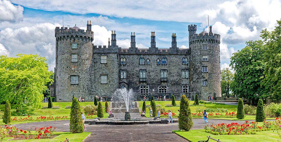 CastleCastle, unclassified · 1.3 mi
 Clomantagh HillMountain / peak · 3.3 mi
 DelaneyMemorial · 3.8 mi
 John HelyMemorial · 3.8 mi
 Big WoodWood · 4.7 mi
 Anker's IslandIsland · 5.8 mi