
What is recorded here
Situated on a gentle E-facing slope overlooking a broad basin. A boat-shaped rock (dims. 2.3m NW-SE; 1.4-2m NE-SW; H 0.5-0.9m) with a flat upper surface is situated in the SW angle of a subrectangular enclosure (int. dims. c. 23m N-S; c. 18m E-W) that has been excavated into the hillslope (max. D 1m at W), using the excavated material to create an earthen bank perimeter on all sides with a scarp (H c. 1m) on the E, downslope side. The rock has the straight NW edge (L 1.4m; H 0.9m) facing into the enclosure which has no entrance, but the enclosure has been marked on the OS 6-inch maps. There are local traditions of its use as a mass-rock (Power 1988).
Compiled by: Michael Moore
Date of upload: 6 December, 2011
A local holy well or ritual site; wider significance not recorded.
The monument record does not grant public access. Check the route and ask the landowner before entering private land.
- What survives
- Recorded monument
Places near here
 Embanked enclosureEnclosure · 725 yd
 Ballinageeragh DolmenArchaeological place · 1236 yd
 St. Martin's WellSpring · 1245 yd
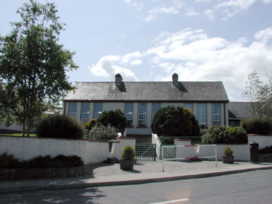 Dunhill National SchoolOfficially recorded historic building · 1.3 mi
 Catholic Church of the Sacred HeartOfficially recorded historic building · 1.3 mi
 Castle (in ruins)Castle, tower house · 1.7 mi
 Dunhill CastleCastle · 1.7 mi
 St. Bernard's WellSpring · 1.7 mi
 Annestown monumentMemorial · 2.1 mi
 Benvoy BeachBeach / strand · 2.4 mi
 Boatstrand BeachBeach / strand · 2.5 mi
 Lime KilnVisitor information · 2.6 mi
Other information
Photo: Credit not shown in the picture search · Rights wording not checked; contact us if this picture should be removed