
What is recorded here
On a steep ENE-facing slope in pasture. Depicted as a circular enclosure with the designation 'Fort' on the 1837 ed. of the OS 6-inch map. A report in 1975 (SMR file) recorded a slightly raised oval area (c. 38m N-S; c. 33m E-W) enclosed by a low bank of earth and stone with a shallow external fosse. The original entrance was not recognisable. The rath has since been levelled and is not visible at ground level.
Compiled by: Patrick F. O'Donovan
Date of upload: 26 August 2011
The monument record does not grant public access. Check the route and ask the landowner before entering private land.
- What survives
- Recorded monument
Places near here
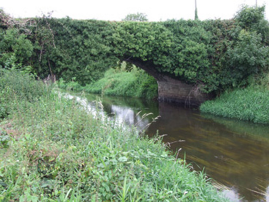 Ballykenny Bridgebridge · 600 yd
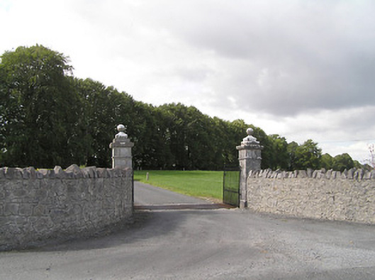 Brianstown Housegates/railings/walls · 898 yd
 Enclosure in LismoreEnclosure · 1.1 mi
 Furnace in MullaghFurnace · 1.6 mi
 Pedunculate OakPedunculate Oak · 1.7 mi
 Common LimeCommon Lime · 1.7 mi
 CastleforbesCastle · 1.9 mi
 Bawn in Castleforbes DemesneBawn · 1.9 mi
 First World War MemorialMemorial · 2.6 mi
 Saint Mel's CathedralCathedral · 2.7 mi
 Graveyard in Curry (ardagh By., Coolamber Ed)Graveyard · 4.1 mi
 Commons North WalkVisitor information · 7.6 mi
Other information
Photo: Credit not shown in the picture search · Rights wording not checked; contact us if this picture should be removed