What is recorded here
In pasture, located on top of a ridge, with a steep fall of ground to E overlooking a broad sweep of lowlying pasture and bog, and a more gradual slope to W giving way to rolling pasture.
Slightly raised, oval area (50m E–W; 72.9m N–S) defined by remnants of an bank, reduced to a scarp in parts. The bank (W, 2.2m at S, 1.7 at NW; int. H 0.25m at S, 0.4m at NW; ext. H 1m) survives SSE–NW, and is primarily earthen, but incorporates some stones. It is relatively narrow, with a steep, rather vertical external face and a low internal lip. At NW–N it is incorporated into a later E-W field bank (Wth 2m; int. H 0.7; ext. H 0.9m), retaining a slight arc, and NE–SE it is reduced to a broadly sloping, ill-defined scarp, outside which is a straight N–S field fence. There is a break (W 2.8m) in the bank at the SW, which currently provides access to the interior, and may not be the original entrance.
The centre of interior is level, with a gentle slope from there outwards towards the perimeter. Slightly E of centre there is a low square platform (13.5m N–S; 13.5m E–W; H 0.25m), on the NW corner of which is a possible circular hut site (MA039-057001-).
The centre and N of the interior is grassy and open, but dense blackthorn obscures much of the S half and the NW quadrant, and rings the perimeter. A N–S field fence, now largely engulfed in overgrowth, abuts the bank at SE, and at NW remnants of an E-W field bank extends W from the rath.
Compiled by: Jane O'Shaughnessy
Date of upload: 21 February 2020
The monument record does not grant public access. Check the route and ask the landowner before entering private land.
- What survives
- Recorded monument
Places near here
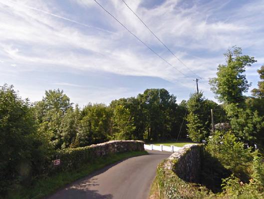 bridgebridge · 1561 yd
 IndicatedFairy fort / earthen ringfort · 1670 yd
 Gull IslandIslet · 1.2 mi
 Enclosure in CorroyEnclosure · 1.4 mi
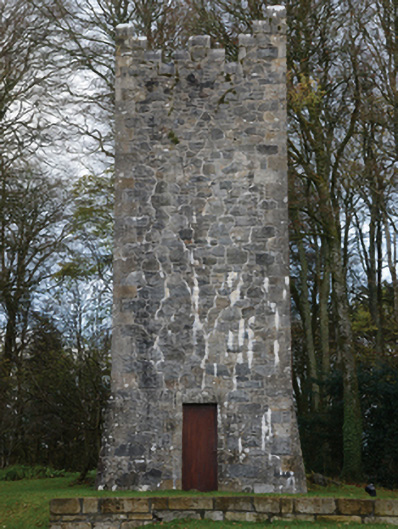 Mount Falconbuilding misc · 1.4 mi
 Castle (in ruins)Castle, unclassified · 2.3 mi
 Humbert MonumentMemorial · 2.8 mi
 Cloghans CastleCastle, tower house · 2.8 miBattle of Ballinabattle · 2.8 mi
 The Marshall Doran CollectionGallery · 3.9 mi
 Belleek WoodsWood · 4.1 mi
 FloretteWreck · 4.1 mi