What is recorded here
Listed as 'Enclosure' in the RMP (1996). Indicated as an enclosure with trees on the 1842 and 1921 eds. of the OS 6-inch map, and situated on a gentle S and SW-facing slope. A subcircular area (int. dims. 33m N-S; 28m E-W) defined by a narrow wall spread (Wth 1.2-2m; H 0.5-0.8m) which is partly collapsed. There is no visible entrance or internal features, but there are ash trees growing on the perimeter with hazel in the interior.
Compiled by: Michael Moore
Date of upload: 13 July 2016
The monument record does not grant public access. Check the route and ask the landowner before entering private land.
- What survives
- Recorded monument
Places near here
 Ballyhickey Wedge TombArchaeological place · 455 yd
 Enclosure in BallyhickeyEnclosure · 873 yd
 Danganbrack Castle (in Ruins)Castle, tower house · 1400 yd
 Quin AbbeyHeritage attraction · 1555 yd
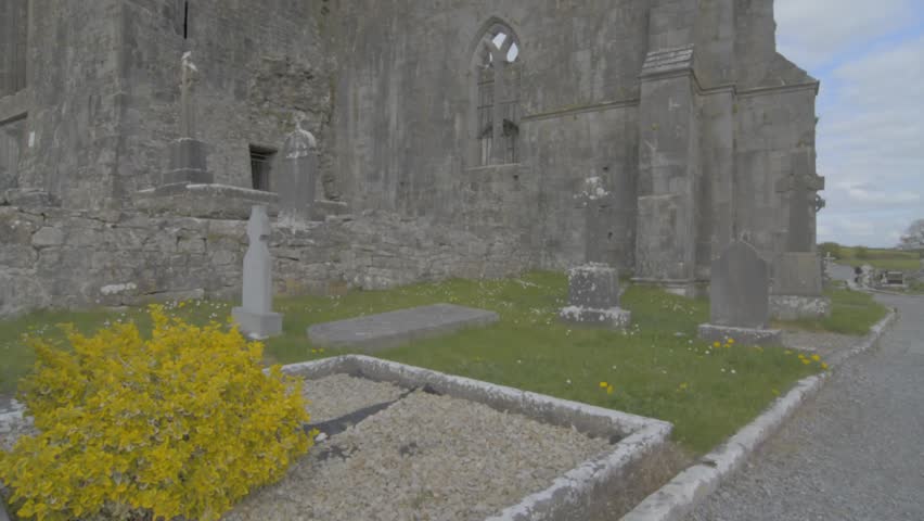 Wall monument in QuinWall monument · 1562 yd
 Quin Abbey ( in ruins)Religious house, Franciscan friars · 1566 yd
 CastleCastle, unclassified · 1.1 mi
 Cloghleagh RockNamed rock · 2.8 mi
 The RingfortHeritage attraction · 3.0 mi
 Kilcatherine GraveyardWood · 3.2 mi
 Mooghaun WoodsWood · 3.6 mi
 G.A.A. Commemorative StoneMemorial · 4.6 mi