What is recorded here
Indicated is a circular stone ringfort in rough Mayo pasture, holding a possible narrow house against its southern wall. The field fence now cuts through the western edge, reducing the ancient boundary to a forgotten line under grass. Someone may have lived inside that small rectangle, watching the karst horizon through the southeastern gap before the land swallowed the purpose.
In rough pasture, mixed with karst, 300m S of cashel (MA121-074001-). Circular area (40m N-S; 40m E-W), enclosed by low stone wall (H 0.9m; Wth 6m) of dump construction. Gap (Wth 1m) in SE. Field fence bisects W of site; N to S. Possible house site (L 7.5m; Wth 2.3m) adjoins interior of S wall, with possible entrance (Wth 0.7m) on N side.
The above description has been derived from D. Lavelle (compiler), An Archaeological Survey of Ballinrobe and District including Lough Mask and Lough Carra. Lough Mask and Lough Carra Tourist Development Association (1994), No. 246.
Date of upload: 7 January 2015
The monument record does not grant public access. Check the route and ask the landowner before entering private land.
- What survives
- Recorded monument
Places near here
 IndicatedFairy fort / ringfort · 199 yd
 Enclosure in Ballyhenry OR CaraunEnclosure · 358 yd
 Bawn in Cregduff (kilmaine By., Kilmainemore Par.)Bawn · 1507 yd
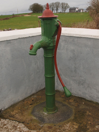 water pumpwater pump · 1739 yd
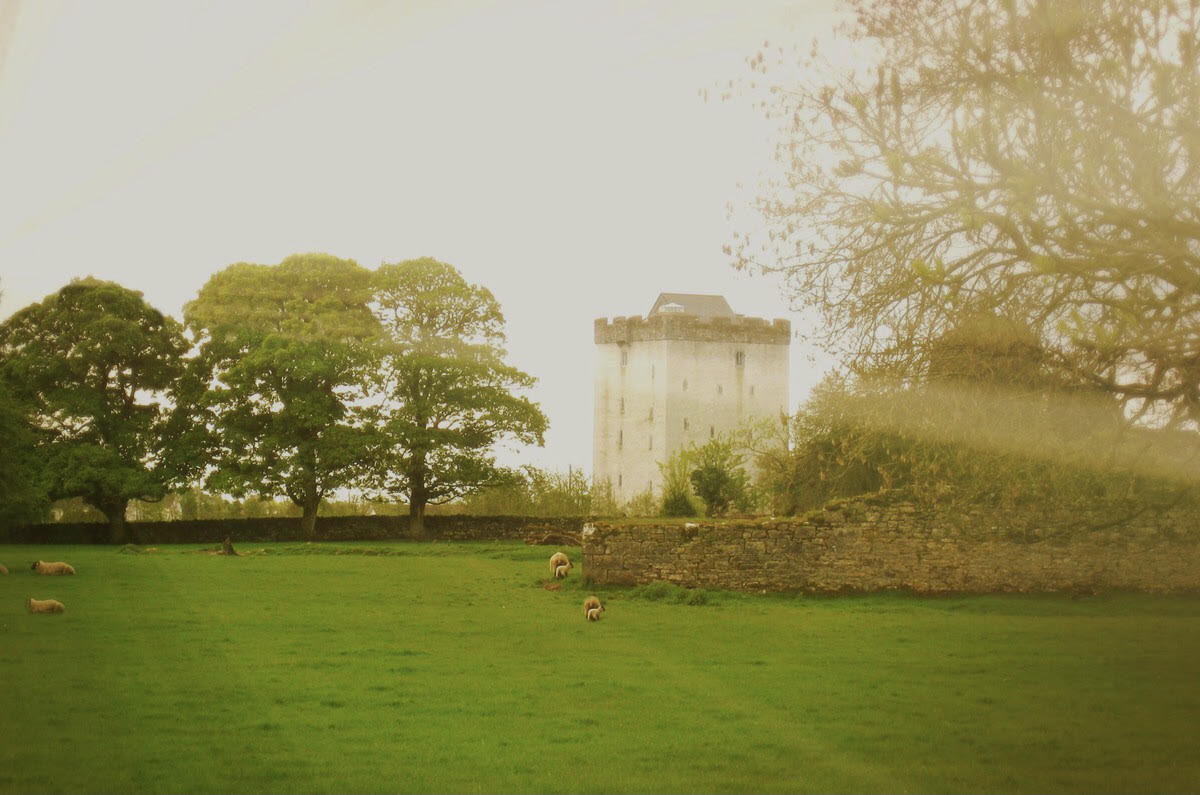 Castle in ruinsCastle, tower house · 1.0 mi
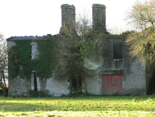 Fountainhillfarm house · 1.1 mi
 Cregg PlantationForest · 2.1 mi
 Pesooge PlantationForest · 2.5 mi
 Gibbs IslandsIslet · 5.2 mi
 Red Island RockIslet · 6.0 mi
 School of FalconryHeritage attraction · 7.3 mi
 Mass RockNamed rock · 7.8 mi