What is recorded here
A network of irregular field walls (c. 1.km NE-SW; c. 800m NW-SE) visible on Digital Globe (2011-2013) and on OSi Aerial Premium (2012-2018) extending across Ballyhenna and Cahercloggaun townlands and associated with 4 cashels including Cahercloggaun itself (CL004-077001-) and Cahermoyle (CL004-078----). A number of fields in the area have been reclaimed.
Compiled by: Mary Tunney
Date of upload: 30 August 2021
The monument record does not grant public access. Check the route and ask the landowner before entering private land.
- What survives
- Recorded monument
Places near here
 CastleCastle, tower house · 424 yd
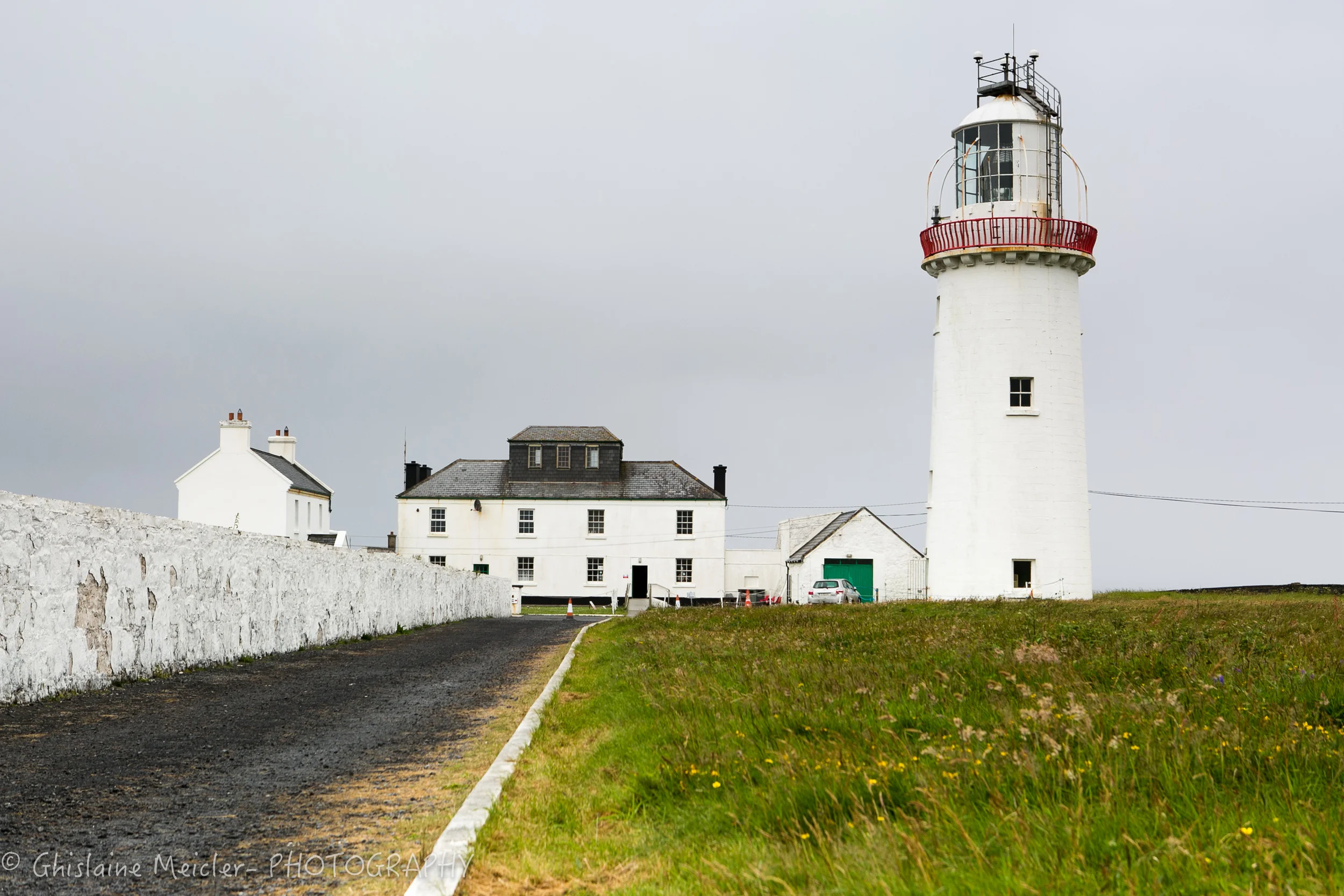 CahercloggaunFairy fort / stone ringfort · 435 yd
 Toomaghera R.C. ChapelChurch · 566 yd
 Killeany Church in ruinsChurch · 741 yd
 IndicatedEnclosure · 1044 yd
 Poll CragreaghCave · 1268 yd
 Site of Lisdoonvarna CastleCastle, tower house · 1617 yd
 Poll ElvaCave · 1.3 mi
 Ballyteigue Nature ReserveNature reserve · 1.6 mi
 Cahermacnaghten CashelHeritage attraction · 2.3 mi
 Slieve ElvaMountain / peak · 2.6 mi
 Doolin Cave Visitor CentreHeritage attraction · 3.8 mi