What is recorded here
On the E edge of a flat narrow ridge between two N-S valleys with good views in all directions. Visible only on the 1st ed. OS 6-inch map as a circular wooded feature (diam. c. 20m). A small semicircular enclosure (c. 18m N-S; 21m E-W) defined by a low stony bank (int. H 0.3m; ext H. 0.15m) W of largely demolished field wall. Some small-scale quarrying and dumping has been carried out within the enclosure.
Revised by: Mary Tunney
Date of upload: 21 January 2013
The monument record does not grant public access. Check the route and ask the landowner before entering private land.
- What survives
- Recorded monument
Places near here
 Enclosure in CoorleaghEnclosure · 1200 yd
 IndicatedGraveyard · 1.0 mi
 Saint Scuithin's Catholic Churchchurch/chapel · 1.3 mi
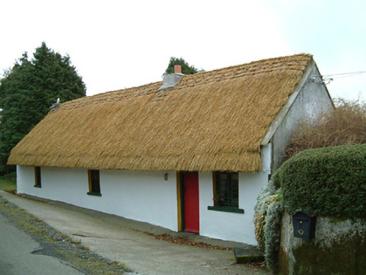 Maherhouse · 1.4 mi
 Freneystown CastleCastle, tower house · 1.8 mi
 The Green GardenWood · 2.4 mi
 Moonhall Castle (ruins)Castle · 3.2 mi
 St. Mogarra’s WellSpring · 3.4 mi
 Church (in ruins), GraveyardChurch · 3.6 mi
 HawthornHawthorn · 3.7 mi
 Lock Keeper's House and Lodge MillsVisitor information · 4.6 mi
 Church, GraveyardChurch · 4.7 mi