
What is recorded here
Indicated is a broken stone ringfort on an east-facing Offaly slope, preserving only its western half as a wide semicircular bank. The surviving curve suggests a much larger enclosure, perhaps a boundary marker or seasonal shelter, now reduced to a coarse arc across the upland grass.
Situated on E facing slope in upland area. Only the W half of the site survives from S through W to N consisting of a semicircular area (approx. 62m diam) enclosed by an impressive bank of mainly stone with a sod covering (Wth 2m; int. H 1.7m). Originally the site must have been a large enclosure with an impressive stone bank.
The above description is derived from the published 'Archaeological Inventory of County Offaly' (Dublin: Stationery Office, 1997). In certain instances the entries have been revised and updated in the light of recent research.
Date of upload: 23 May 2011
The monument record does not grant public access. Check the route and ask the landowner before entering private land.
- What survives
- Recorded monument
Places near here
 Site of St. Colmans WellHoly well · 792 yd
 Church in ruinsChurch · 794 yd
 Ecclesiastical enclosure in KilcolmanEcclesiastical enclosure · 819 yd
 Clonbeg Castle in ruinsCastle, unclassified · 978 yd
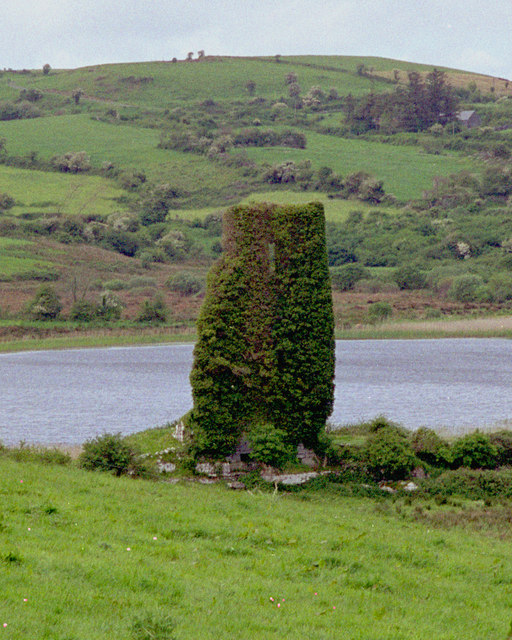 CastleCastle, tower house · 1577 yd
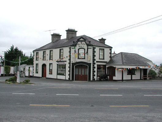 Black Bullhouse · 1658 yd
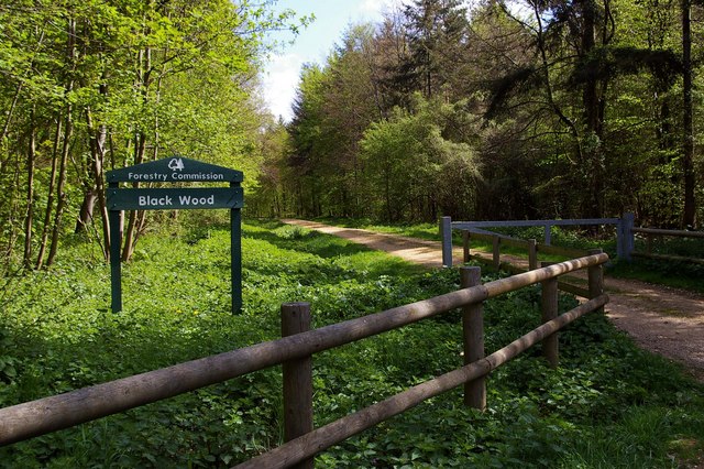 Black WoodForest · 1.4 mi
 Big WoodWood · 1.4 mi
 Birr Heritage CentreMuseum · 3.7 mi
 Waterfall PointViewpoint · 3.7 mi
 James Franklin FullerMemorial · 3.9 mi
 The Great Telescope 'Leviathan'Heritage attraction · 3.9 mi
Other information
Photo: Credit not shown in the picture search · Rights wording not checked; contact us if this picture should be removed