
What is recorded here
On E facing slope of high ground overlooking valley to the NE. Irregular shaped flat topped cairn (diam. 19.5m E-W ;ext. H 1.5m) of stone construction with sod covering. Top of mound has been partially quarried away revealing cairn construction.
The above description is derived from the published 'Archaeological Inventory of County Offaly' (Dublin: Stationery Office, 1997). In certain instances the entries have been revised and updated in the light of recent research.
Date of upload: 23 May 2011
A Neolithic flat-topped cairn, likely dating to the Early to Middle Neolithic period (c. 4000–3000 BCE). Its location and construction suggest it may have functioned as a funerary or ceremonial monument, though its specific significance remains unclear due to partial disturbance.
The monument record does not grant public access. Check the route and ask the landowner before entering private land.
- What survives
- Recorded monument
Places near here
 Clonbeg Castle in ruinsCastle, unclassified · 576 yd
 Site of St. Colmans WellHoly well · 774 yd
 Church in ruinsChurch · 837 yd
 Ecclesiastical enclosure in KilcolmanEcclesiastical enclosure · 852 yd
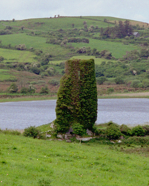 CastleCastle, tower house · 1436 yd
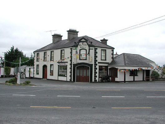 Black Bullhouse · 1.0 mi
 Big WoodWood · 1.3 mi
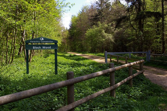 Black WoodForest · 1.7 mi
 Birr Heritage CentreMuseum · 4.0 mi
 Waterfall PointViewpoint · 4.0 mi
 James Franklin FullerMemorial · 4.1 mi
 The Great Telescope 'Leviathan'Heritage attraction · 4.1 mi
Other information
Photo: Credit not shown in the picture search · Rights wording not checked; contact us if this picture should be removed