What is recorded here
Marked as a circular feature (diam. c. 30m) in a rectangular field (dims c. 30m E-W; c. 30m N-S) on the 1837 ed. of the OS 6-inch map, and situated on a gentle N-facing slope. It is not visible at ground level in pasture.
Compiled by: Michael Moore
Date of upload: 24 August 2010
The monument record does not grant public access. Check the route and ask the landowner before entering private land.
- What survives
- Recorded monument
Places near here
 Ritual siteRitual site, holy tree/bush · 333 yd
 IndicatedChurch · 349 yd
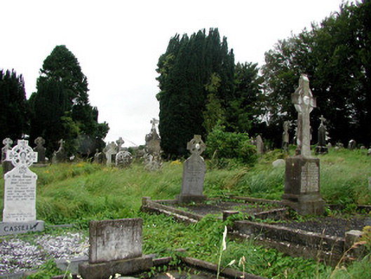 graveyard/cemeterygraveyard/cemetery · 370 yd
 Remains of Stone CrossCross, Market cross · 412 yd
 CastleCastle, Anglo-Norman masonry castle · 419 yd
 Silver IslandIslet · 3.7 mi
 Workhouse MemorialMemorial · 3.9 mi
 HawthornHawthorn · 4.4 mi
 Castlereagh HouseCastle, unclassified · 4.5 mi
 Site of Killomaine Grave YardArchaeological place · 4.6 mi
 Clonalis HouseMuseum · 5.8 mi
 Rook HillMountain / peak · 6.3 mi