What is recorded here
In pasture, located on a low rise. Ground falls away gently to S towards an area of wettish ground fed by a spring. There is a farmstead immediately to SW.
Slightly raised, roughly circular area (25.8m E−W; 23.6m N−S) defined by a scarp, which has been largely incorporated into later field boundaries. At NNW–E the scarp (ext. H 1.2m at N, 0.6m at E) retains a low internal rim; at ESE–SSW it has been modified with an external facing of stone to serve as a field fence, and at SW–NW it has been replaced by a linear boundary fence, on NNW–SSE axis, which delimits the W side of a now derelict farmyard.
The NW quadrant of the interior is noticeably raised, defined by a slight scarp which curves N−W through the centre of the interior. This slightly elevated area marks the location of a possible Man-made underground passage (MA062-031001-).
Compiled by: Jane O’Shaughnessy
Date of upload: 25 November 2020
The monument record does not grant public access. Check the route and ask the landowner before entering private land.
- What survives
- Recorded monument
Places near here
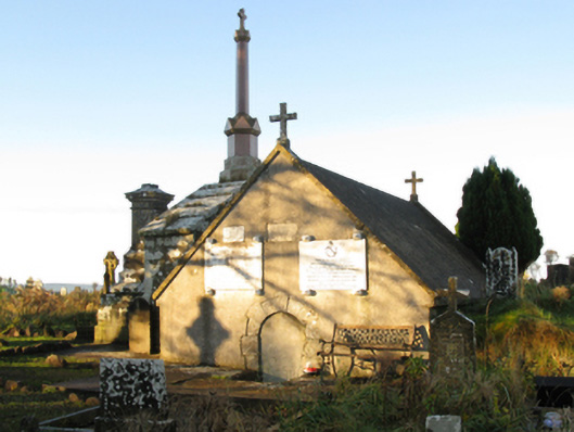 mausoleummausoleum · 1.3 mi
 bridgebridge · 1.3 mi
 Procession Of The SoulsMemorial · 1.6 mi
 IndicatedFairy fort / earthen ringfort · 1.7 mi
 Brabazon WoodsForest · 1.9 mi
 Enclosure in LagcurraghEnclosure · 1.9 mi
 Youth Memorial GardenMemorial · 2.0 mi
 HawthornHawthorn · 2.1 mi
 Castle (in Ruins)Castle, unclassified · 3.1 mi
 Hennigan's Heritage CentreHeritage attraction · 3.2 mi
 Thorn CaveCave · 5.1 mi
 Kiltimagh MuseumMuseum · 8.4 mi