What is recorded here
Indicated is a broken ringfort in North Galway where a field wall now cuts through ancient drystone. Two circular houses still stand nearby, suggesting the fort was not an isolated experiment but a small neighbourhood. The missing northwest section may have vanished under grass, water or forgetting. What remains is enough to show that people shaped this low landscape before it became background.
In a low-lying area of grassland and rock outcrop. Poorly preserved almost circular cashel (D c. 40m) defined by a drystone wall. A field wall cuts the monument at NE and SW and no visible surface trace survives to NW of it. Two circular houses (GA056-017----) lie c. 30m to E and NE respectively.
The above description is derived from the published 'Archaeological Inventory of County Galway Vol. II - North Galway'. Compiled by Olive Alcock, Kathy de hÓra and Paul Gosling (Dublin: Stationery Office, 1999).
Date of upload: 05 August 2010
The monument record does not grant public access. Check the route and ask the landowner before entering private land.
- What survives
- Recorded monument
Places near here
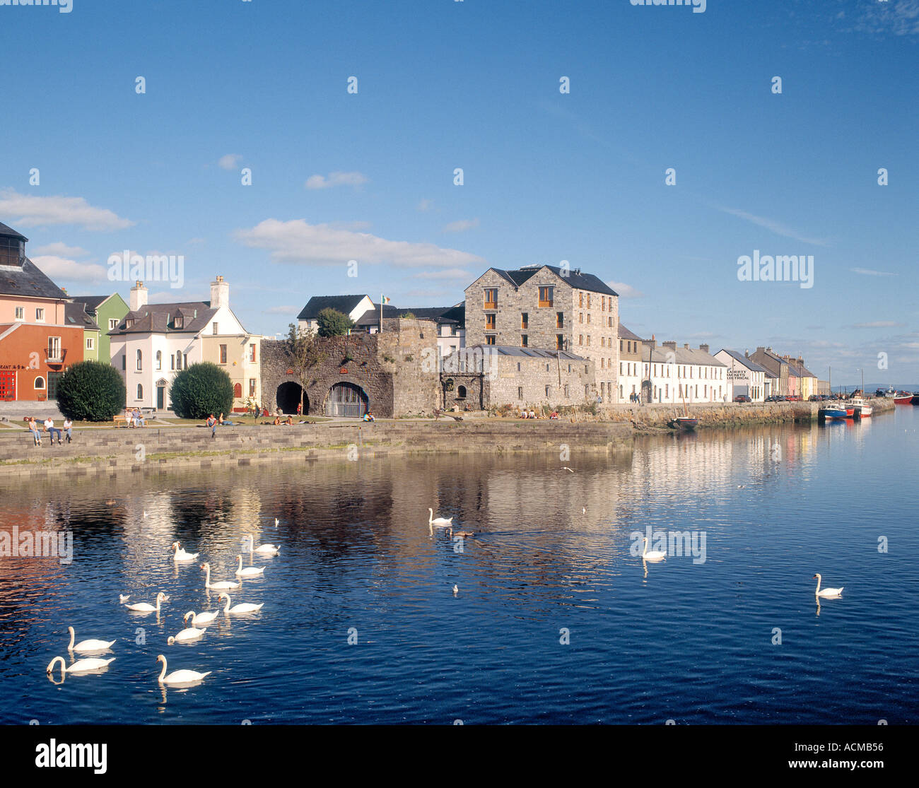 CaheranoreArchaeological place · 602 yd
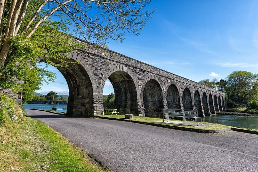 IndicatedHouse, 18th/19th century · 685 yd
 Castle in ruinsCastle, tower house · 721 yd
 Ballyedmond FortArchaeological place · 904 yd
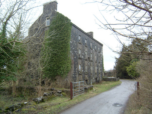 Kilroe Millsmill (water) · 1.1 mi
 Ballinduff BayBay · 1.2 mi
 Kilcoona Round TowerHeritage attraction · 1.2 mi
 CastleCastle, tower house · 2.1 mi
 Walsh's IslandIslet · 2.8 mi
 Cúil DiarmuidWood · 2.8 mi
 Oileán an AoilIsland · 3.2 mi
 Cregg Castle DemesneForest · 4.5 mi