What is recorded here
Indicated is a fairy fort in County Mayo, Ireland, where a slumped earthen bank circles a hidden heart of blackthorn and brambles. Cattle graze beside it, hazel and hawthorn mark its edge, and bog breathes nearby, but the fort keeps its own dark green boundary. It is the kind of place where human tools stop making sense and imagination begins.
In pasture, on the gentle S-facing slope of a N–S ridge. A broad expanse of bog lies 100m to E.
Slightly raised circular area (diam. 25-30m) defined by an earthen bank (Wth 3.5-4m; int. H 0.6-0.8m; 0.7m at N, 1.2m at W). The bank has a low, broadly slumped internal face. There is a gap (Wth 2m) in the bank at ESE, and another (Wth 2m) at SW. On the E arc the bank has been adapted to serve as a field fence. The rath perimeter is ringed with hazel and hawthorn trees. The interior is obscured by an impenetrable thicket of blackthorn and brambles.
Compiled by: Jane O’Shaughnessy
Date of upload: 4 February 2020
The monument record does not grant public access. Check the route and ask the landowner before entering private land.
- What survives
- Recorded monument
Places near here
 Gull IslandIslet · 960 yd
 IndicatedFairy fort / earthen ringfort · 1145 yd
 Enclosure in CorroyEnclosure · 1305 yd
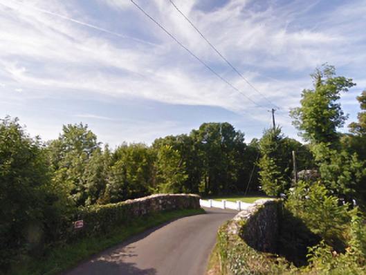 bridgebridge · 1469 yd
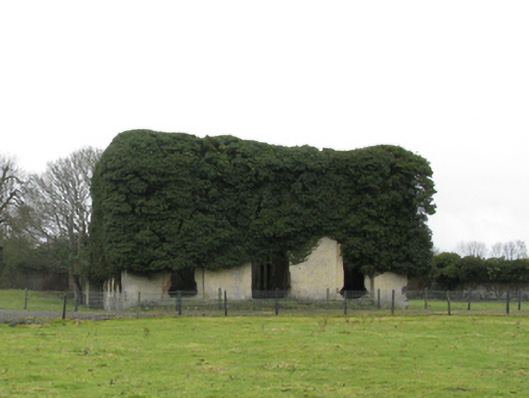 Carrowmore Housecountry house · 1.0 mi
 Cloghans CastleCastle, tower house · 1.4 mi
 Castle (in ruins)Castle, unclassified · 2.2 mi
 Battle of Ballinabattle · 3.2 miHumbert MonumentMemorial · 3.4 mi
 Roe IslandIslet · 3.8 mi
 The Marshall Doran CollectionGallery · 4.6 mi
 Belleek WoodsWood · 4.8 mi