
What is recorded here
On a gentle E-facing slope in improved pasture and truncated by the townland boundary wall with Crughwill from WSW-E. Indicated on the first edition (1840) and hachured on the later, Cassini edition (1916) of the OS 6-inch map. Listed as ‘Enclosure’ in the RMP (1996).
A poorly preserved oval area (ext. dims. 34m E-W; 30m N-S; int. dims. 25m E-W; 20m N-S) is defined by a bank of earth and stone (Wth 1.8-3m; int. H 0.2-0.6m; ext. H 0.4m in WSW; max. ext. H 0.6-0.8m) E-S-WSW (to the S of the townland boundary wall) and by a broader but lower bank (Wth c. 4m; int. H 0.2m; ext. H 0.2m) WSW-N-NNE (to the N of the townland boundary wall). No trace of the enclosing bank survives from NNE-ENE. A large stone (L 1.5m; H 0.33m) which traverses the bank at ESE may mark one side of an entrance although the ground outside drops sharply (D 0.8m). The interior is generally level.
The OS 25-inch plan (1890s) depicts a scarp curving SE-S-SW c. 7m to the S of the monument (with lower ground outside to S) which suggests it may have once been enclosed by a second, outer bank.
Summary by: Gearóid Conroy and Lynda McCormack
Date of upload: 14 December 2022
The monument record does not grant public access. Check the route and ask the landowner before entering private land.
- What survives
- Recorded monument
Places near here
 Castle in ruinsCastle, tower house · 178 yd
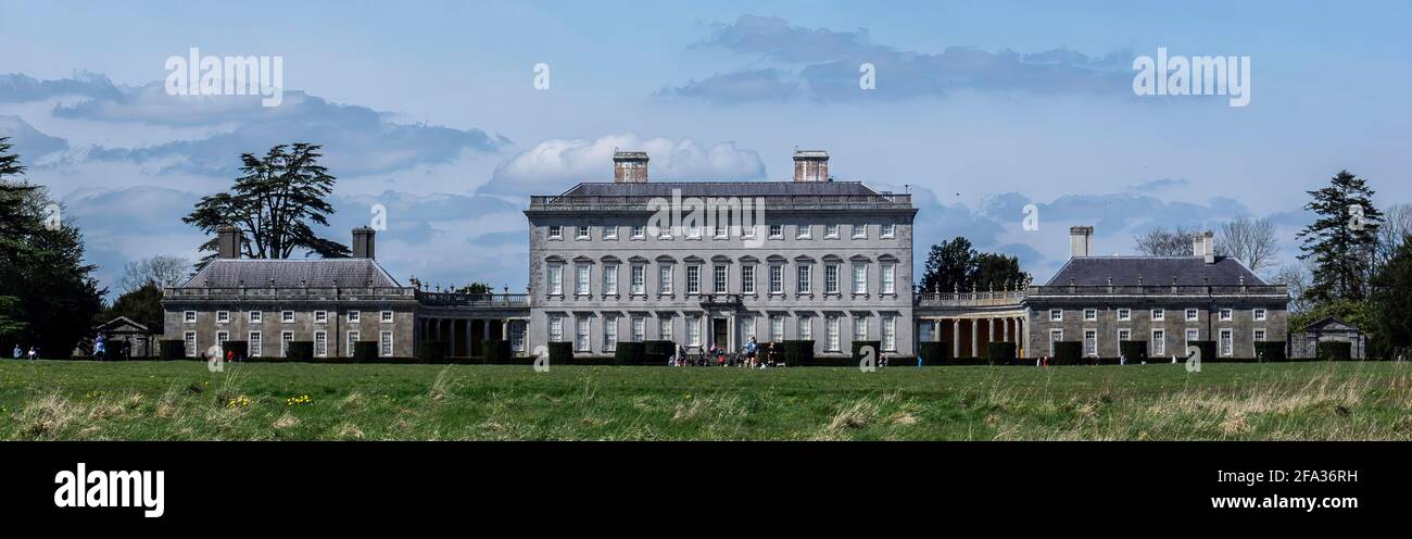 Enclosure in Castletown (burren By.)Enclosure · 187 yd
 CahersabaunFairy fort / stone ringfort · 269 yd
 Saint Columba's Catholic Churchchurch/chapel · 1226 yd
 Castle (in ruins)Castle, unclassified · 1448 yd
 Templecronan (in ruins)Church · 1.4 mi
 Farbrega RockNamed rock · 1.8 mi
 Father Ted's HouseHeritage attraction · 2.1 mi
 PoulnabroneMemorial · 2.7 mi
 CaherconnellHeritage attraction · 3.0 mi
 The Portal TombVisitor information · 3.1 mi
 Poulnabrone - Burren GeositeVisitor information · 3.1 mi
Other information
Photo: Credit not shown in the picture search · Rights wording not checked; contact us if this picture should be removed