
What is recorded here
At the SW tip of a low rise or promontory in the middle of the Carran Depression surrounded by areas subject to flooding. Indicated on the 1840 and 1916 OS 6-inch maps. An oval area (c. 50m NE-SW; c. 47m NW-SE) defined by a very low earthen bank. Visible on OSi MapGenie orthophotography (2005-2012). Another enclosure (CL010-260----) lies c. 95m to the NE.
Compiled by: Mary Tunney
Date of upload: 19 July 2023
The monument record does not grant public access. Check the route and ask the landowner before entering private land.
- What survives
- Recorded monument
Places near here
 Saint Columba's Catholic Churchchurch/chapel · 803 yd
 Castle (in ruins)Castle, unclassified · 961 yd
 CahersabaunFairy fort / stone ringfort · 1003 yd
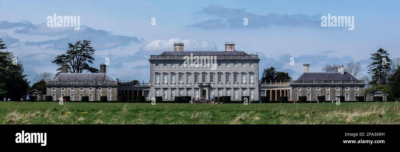 Enclosure in Castletown (burren By.)Enclosure · 1007 yd
 Castle in ruinsCastle, tower house · 1124 yd
 Templecronan (in ruins)Church · 1274 yd
 Father Ted's HouseHeritage attraction · 2.3 mi
 Farbrega RockNamed rock · 2.3 mi
 PoulnabroneMemorial · 2.6 mi
 The Portal TombVisitor information · 3.2 mi
 CaherconnellHeritage attraction · 3.2 mi
 Poulnabrone - Burren GeositeVisitor information · 3.2 mi
Other information
Photo: Credit not shown in the picture search · Rights wording not checked; contact us if this picture should be removed