
What is recorded here
Indicated is a vast circular enclosure on the Carran plateau, built around 1200 BC with upright slabs set in shallow sockets. Its broad bank still marks a boundary wall today, while a later cashel and underground passage abut the southern edge. The site remains prominent above rough pasture and limestone pavement, preserving the shape of an ancient landscape that continued to be lived in long after its first builders left it behind.
Prominently sited (between the 500’ and 600’ contours) on the SE-facing slopes of a steep-sided, N-S ridge in rough pasture and limestone pavement. A later cashel (CL010-015002-) abuts the perimeter at S and contains a Man-made underground passage (CL010-015003-) which incorporates a natural cave (CL010-015004-). All lie within an extensive multiperiod field system (CL009-084001-). Indicated on the 1840 and 1916 editions of the OS 6-inch map.
A very large, irregularly circular area (ext. diams. 148m NE-SW; 134m NW-SE; int. diams. 137m NE-SW; 123m NW-SE) is defined by a low bank of earth and stone (Wth 5-6m; int. H 0.6-1.1m; ext. H 0.6-1.1m) which is poorly preserved at NE. The interior slopes down from NW to SE and contains a series of natural, stepped terraces orientated NE-SW. A circle of stones NE of centre and an L-shaped alignment of stone are both located close to a large pit which, according to Gibson (2007, 5) may be related to lead workings c. 200m of the enclosure. A natural gully inside of the enclosing element at SE may be an original entrance route. A later field wall built along the original enclosure line acts as a townland boundary wall SSE-W-NNE.
In 1985, Gibson carried out a small excavation on the enclosing element. A single phase of earlier wall construction was exposed comprising large upright slabs in shallow sockets, faced externally with large slabs and with stones of various sizes placed against and between the uprights (wall T 1.4m; H 0.75m).
The excavation produced two Late Bronze Age radiocarbon dates (c. 1200-931 BC) from the foundation level and a later, Iron Age date (c. 486-280 BC) from directly under the sod.
This is one of several, fairly closely associated, prehistoric enclosures (see CL010-005002-; CL010-230----; CL010-033---- and CL010-035----) on the Carran plateau. Its wall construction is similar to another enclosure c. 1.8km to the NW (CL010-005002-) (Jones et al. 2011, 46, fig.4, Enclosure 1).
See attachment: CL010-015001-_01 Enclosure viewed from SE: snip of Pl. III in Jones et al. 2011.
Summary by: Gearóid Conroy and Lynda McCormack
Date of upload: 9 December 2022
The monument record does not grant public access. Check the route and ask the landowner before entering private land.
- What survives
- Recorded monument
Places near here
 IndicatedChurch · 462 yd
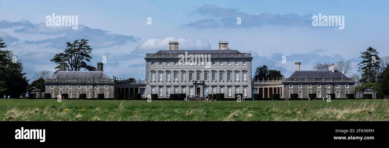 Enclosure in Castletown (burren By.)Enclosure · 533 yd
 Enclosure in SladooEnclosure · 601 yd
 Saint Columba's Catholic Churchchurch/chapel · 681 yd
 Castle in ruinsCastle, tower house · 865 yd
 Castle (in ruins)Castle, unclassified · 866 yd
 Farbrega RockNamed rock · 1.7 mi
 PoulnabroneMemorial · 2.3 mi
 CaherconnellHeritage attraction · 2.7 mi
 The Portal TombVisitor information · 2.7 mi
 Poulnabrone - Burren GeositeVisitor information · 2.8 mi
 Poulnabrone DolmenHeritage attraction · 2.8 mi
Other information
Photo: Credit not shown in the picture search · Rights wording not checked; contact us if this picture should be removed