
What is recorded here
Situated on the S facing slope of high ground with good extensive views. Roughly circular area (diam 40m N-S) enclosed by earth and stone bank (Wth 1.5m; int. H 0.7m; ext. H 1m) which is reduced at S to a scarp, with external fosse (Wth 2.7m; int. D 1.3m) visible from E through S to W with causewayed entrance (Wth 3m) at E. Field fence intersects external fosse at S and E.
The above description is derived from the published 'Archaeological Inventory of County Offaly' (Dublin: Stationery Office, 1997). In certain instances the entries have been revised and updated in the light of recent research.
Date of upload: 23 May 2011
A local fairy fort (ringfort/rath); wider significance not recorded.
The monument record does not grant public access. Check the route and ask the landowner before entering private land.
- What survives
- Recorded monument
Places near here
 CastleCastle, unclassified · 678 yd
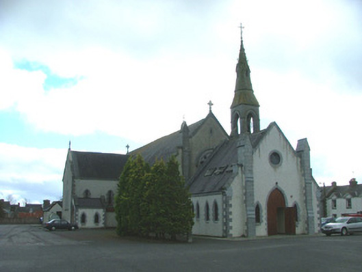 Catholic Church of the Immaculate Conceptionchurch/chapel · 1590 yd
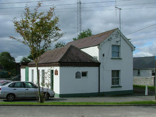 Ferbane Railway Stationrailway station · 1604 yd
 Ballylin Bog BoardwalkHeritage attraction · 1.0 mi
 Enclosure in GallenEnclosure · 1.1 mi
 Glebe Ho.Ecclesiastical site · 1.2 mi
 Saint Reaghan's WellSpring · 1.5 mi
 Site of Faddanmore CastleCastle, unclassified · 1.9 mi
 Endrim HillMountain / peak · 2.2 mi
 Cloghan HillMountain / peak · 3.4 mi
 Lug Holy WellSpring · 3.7 mi
 European ashEuropean ash · 4.8 mi
Other information
Photo: Credit not shown in the picture search · Rights wording not checked; contact us if this picture should be removed