What is recorded here
Indicated is a circular cashel in County Clare, Ireland, where a low collapsed stone spread still marks the edge of an ancient enclosure. The interior rises one metre above the surrounding pasture, preserving a small raised chamber inside the broken ring. People may have lived, hidden or worshipped there before field walls and rubble buried the entry, while the land continued to change around the stone.
In a partly cleared and subdivided field of coarse pasture and limestone outcrop, within a relict field system (CL009-004001-) and a larger multiperiod field system (CL008-109001-). Indicated on the 1897 OS 25-inch plan and the 1920 ed. of the OS 6-inch map. Listed as ‘Enclosure’ in the RMP (1996). This almost circular cashel (int. dims. 20m N-S; 19.5m E-W) is defined by a low grassed-over collapsed stone spread (Wth 1.8-2m). Outer wall-facing is visible intermittently from W-NE, and is best preserved at W, but no trace of the inner wall-face survives. The interior is raised c. 1m above the outer ground level. Several small piles of rubble along the perimeter suggest earlier attempts at field clearance. An overgrown field wall abuts it at WSW. There is another cashel (CL008-004003-) c. 86m to the SE.
Compiled by: Olive Alcock and Conn Herriott
Date of upload: 17 August 2022
The monument record does not grant public access. Check the route and ask the landowner before entering private land.
- What survives
- Recorded monument
Places near here
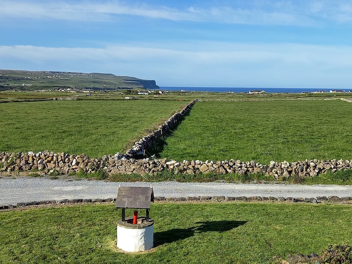 Enclosure in BallycahanEnclosure · 372 yd
 Enclosure in KillilaghEnclosure · 381 yd
 Catholic Church of the Holy Rosarychurch/chapel · 1230 yd
 CastleCastle, unclassified · 1237 yd
 Aran View SwalletCave · 1353 yd
 Roadford Bridgebridge · 1654 yd
 Doonmacfelim Castle (in Ruins)Castle, tower house · 1.1 mi
 Fisherstreet PotCave · 1.1 mi
 Doolin PointHeadland · 1.4 mi
 Doolin FerriesHeritage attraction · 1.4 mi
 Wild Atlantic Way: Doolin PierVisitor information · 1.4 mi
 Ballaghaline PointHeadland · 1.6 mi