What is recorded here
In reclaimed pasture 250m N of a watercourse that marks the townland boundary with Lisnalanniv. Farmhouse depicted at this location on the 1840 ed. OSi 6-inch map. It is shown on the 1897 ed. OSi 25-inch map as a raised roughly oval-shaped area (dims. 36m NW-SE; 23m NE-SW). Visible as a faint cropmark on Digital Globe orthoimage taken between 2011-13. No surface remains visible on Google Earth orthoimages. Earthwork appears to represent the levelled remains of the farmhouse depicted on 1840 ed. OSi 6-inch map.
See attached Google Earth orthoimages.
Compiled by: Martin Fitzpatrick
Date of upload: 5 November 2021
The monument record does not grant public access. Check the route and ask the landowner before entering private land.
- What survives
- Recorded monument
Places near here
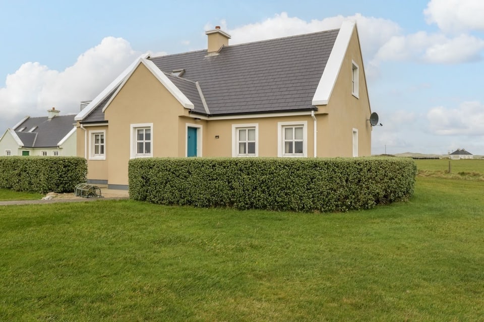 Lios na Leanbh - HachuredFairy fort / earthen ringfort · 1026 yd
 Urn burial in KnockadeaUrn burial · 1598 yd
 Ballyarthur HillMountain / peak · 1.0 mi
 Site of CastleCastle, unclassified · 1.1 mi
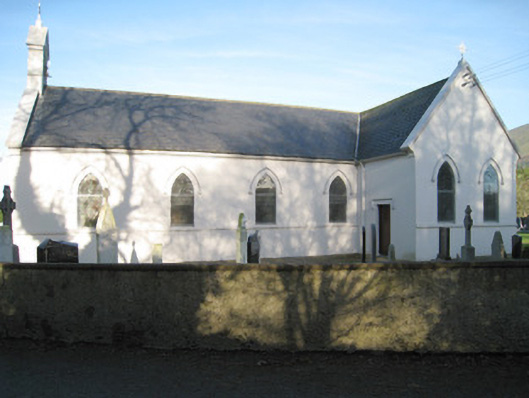 Saint Patrick's Catholic Churchchurch/chapel · 1.3 mi
 bridgebridge · 1.3 mi
 Paradise HillMountain / peak · 2.0 mi
 Combaun WoodsViewpoint · 2.2 mi
 Site of Castle, Castle FieldCastle, unclassified · 2.9 mi
 Kilclooney WoodWood · 4.4 mi
 John MandevilleMemorial · 4.5 mi
 Mitchelstown Town MapVisitor information · 4.5 mi