What is recorded here
Indicated was a fairy fort on a Galway ridge, its earthen bank curving forty metres across the slope before golf course landscaping buried the rath under an embanked green. The fort may have marked a boundary between human fields and fairy roads, its circle complete enough to exclude intrusion or contain what lived inside. Men swung clubs where something older waited, trusting the grass to keep what the earth had hidden.
On the E-facing slope of a ridge, formerly part of the Gort golf course. Marked on the OS 6-inch maps as a circular enclosure (diam. c. 40m). When inspected in July 1982 the arc of an earthen bank was visible from ENE through S to WNW. The area was subsequently landscaped c. 1985 and an embanked green stood on the site of the rath.
Compiled by: Galway Archaeological Survey, UCG
Date of upload: 10 April 2019
The monument record does not grant public access. Check the route and ask the landowner before entering private land.
- What survives
- Recorded monument
Places near here
 Man-made underground passage in Ballybaun (kiltartan By.)Man-made underground passage · 750 yd
 CaveMan-made underground passage · 1017 yd
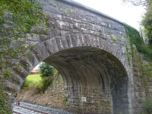 bridgebridge · 1149 yd
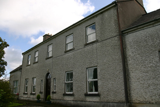 Prospect Housecountry house · 1693 yd
 Bawn in Castlequarter (kiltartan By.)Bawn · 1.7 mi
 Cavalry Bks on Site of Gort CastleCastle, unclassified · 1.8 mi
 Kilmacduagh MonasteryHeritage attraction · 2.1 mi
 Kilmacduagh Monastic SiteVisitor information · 2.1 mi
 Keaghery IslandWood · 2.1 mi
 Swan IslandIsland · 2.2 mi
 Apple IslandWood · 2.2 mi
 Castle IslandIsland · 2.2 mi
Other information
Photo: Credit not shown in the picture search · Rights wording not checked; contact us if this picture should be removed