What is recorded here
In level pasture 100m SW of a burial ground (LI012-087---) and 100m E of a 'Thrashing Machine' as shown on 1840 OS 6-inch map. Post-1700 lime-kiln depicted as a rectangular structure on the 1840 OS 6-inch map. Annotated ‘Lime Kiln Disused’ on the 1897 OS 25-inch map where two rectangular structures (approx. dims. 8m N-S x 10m E-W) are depicted to the N of a sub-circular shaped hollow (approx. dims. 10m N-S x 13m E-W) with an opening in the SE. No surface trace remains visible today. Cropmark of levelled kiln visible on Google Earth orthoimage taken 19/11/2019.
See attached Google Earth orthoimage
Compiled by: Martin Fitzpatrick
Date upload: 22 June 2020
The monument record does not grant public access. Check the route and ask the landowner before entering private land.
- What survives
- Recorded monument
Places near here
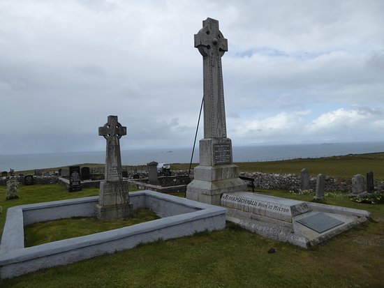 Kilcoran Grave Yd.Burial ground · 137 yd
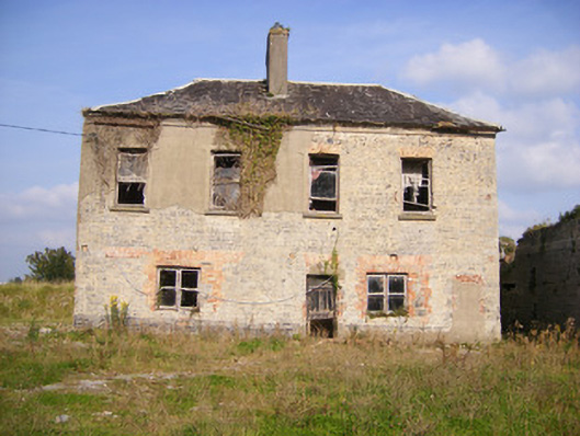 Faha Housecountry house · 546 yd
 Duane Villepresbytery/parochial/curate's house · 591 yd
 Enclosure in Faha DemesneEnclosure · 826 yd
 Castle FieldCastle, unclassified · 2.1 mi
 Site of CastleCastle, unclassified · 2.1 mi
 Sailors HaggardMemorial · 4.3 mi
 Grass IslandIslet · 6.1 mi
 King's IslandIsland · 6.3 mi
 Maiden RockNamed rock · 6.3 mi
 Mellon PointHeadland · 6.9 mi
 Kinnoor WellSpring · 7.0 mi