What is recorded here
On a SE-facing slope just below the crest of a hillock in undulating terrain, in tillage. Standing stone has been removed and is currently located in the Cashel Folk Museum (see TS061-146----). There is a slight hollow (diam. c. 12m) immediately below the crest of a hillock which seems the likely location of the standing stone. According to the landowner the stone was removed c. 20 years ago as a result of field clearance. This monument is indicated on the 1st (1840) ed. OS 6-inch map but is not depicted on the 2nd (1906) ed.
Compiled by: Jean Farrelly
Date of upload: 26 August 2011
This remains an important historical record, but the official description says the monument is no longer visible or has been destroyed. The monument record does not grant public access. Check the route and ask the landowner before entering private land.
- What survives
- No visible remains or recorded as destroyed
Places near here
 Grantstown CastleCastle · 484 yd
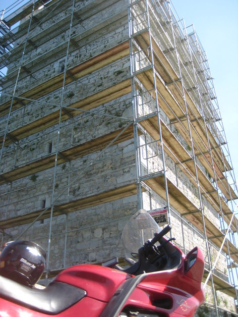 Grantstown Castle (in ruins)Castle, tower house · 485 yd
 Enclosure in GrantstownEnclosure · 549 yd
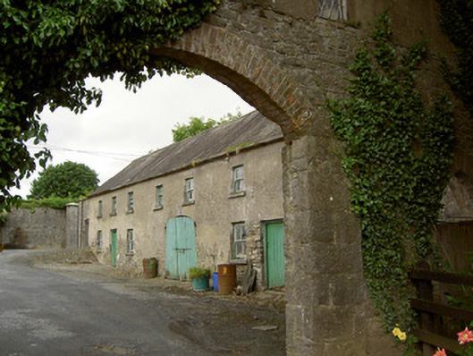 Grantstown Hallfarmyard complex · 704 yd
 Cahervillehowe Housecountry house · 1365 yd
 Enclosure in Kilfeakle ChurchquarterEnclosure · 1543 yd
 European ashEuropean ash · 2.7 mi
 Dundrum Woods (Marl Bog)Forest · 3.4 mi
 I.R.A. 3rd. Tipperary Brigade MemorialMemorial · 4.5 mi
 Soloheadbeg Ambushambush · 4.9 mi
 Soloheadbeg Ambush SiteMemorial · 4.9 mi
 It's a long way to TippereryHeritage attraction · 5.2 mi