What is recorded here
Indicated is a bivallate fairy fort in County Mayo, Ireland, where a broken earth ring and yellow flag ditch still mark a chamber the region once trusted. Cattle may circle its wet edge or people may stand inside the shallow hollow, but the fort keeps its shape because memory and soil still agree. The nearby well, second rath and distant barrow suggest a whole hidden neighbourhood waiting for recognition.
In pasture, on a gently rising slope, with open views to N, in an area of mixed rough and average pasture and wet ground. There is a well 75m to SW.
This bivallate rath consists of a slightly raised circular area (34m N−S; 32.6m E−W) define by a short length of upstanding bank (Wth 2.6m; int. H 0.35m; ext. H 0.9m) at E, which is reduced elsewhere around the circuit to a scarp (H 0.8-1.1m) with a slightly raised internal lip. Outside the bank/scarp is a fosse (Wth 4m) with an external bank (Wth 2.3m at W, 2.6m at E; int. H 0.4m at W, 0.6m at E; ext. H 0.5m at W, 0.3m at E). The enclosing scarp has broad gaps/damaged sections at ESE (Wth 6m), S (Wth 10m), and NW (Wth 5m), and N (Wth 5-10m). The fosse is well defined, marked by a dense growth of yellow flag. The outer bank is low, with several severely eroded sections; a large section (L 10m) is levelled at NNE; it is truncated by or incorporated into a field fence at SSE−S and at SW−W.
The W half of the interior appears to be at a slightly higher level to the E half. In the SW quadrant immediately adjacent to the scarp, there is a shallow hollow (c. 4m across), marked by a growth of nettles and thistles. Another rath (MA052-006----) is located 20m to NNE. A bowl barrow (MA052-009----) is visible on a hill 300m to S.
Compiled by: Jane O'Shaughnessy
Date of upload: 26 June 2020
The monument record does not grant public access. Check the route and ask the landowner before entering private land.
- What survives
- Recorded monument
Places near here
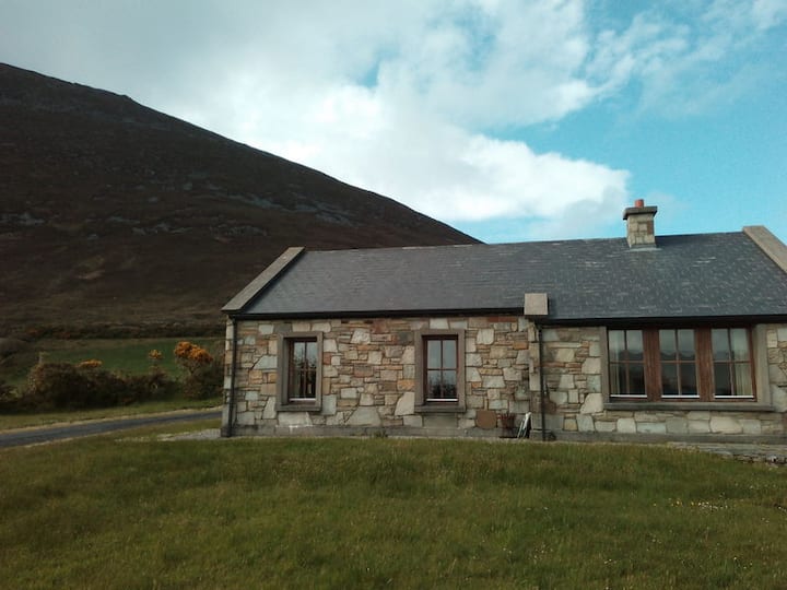 Doomore FortArchaeological place · 410 yd
 Musicans of DoocastleMemorial · 951 yd
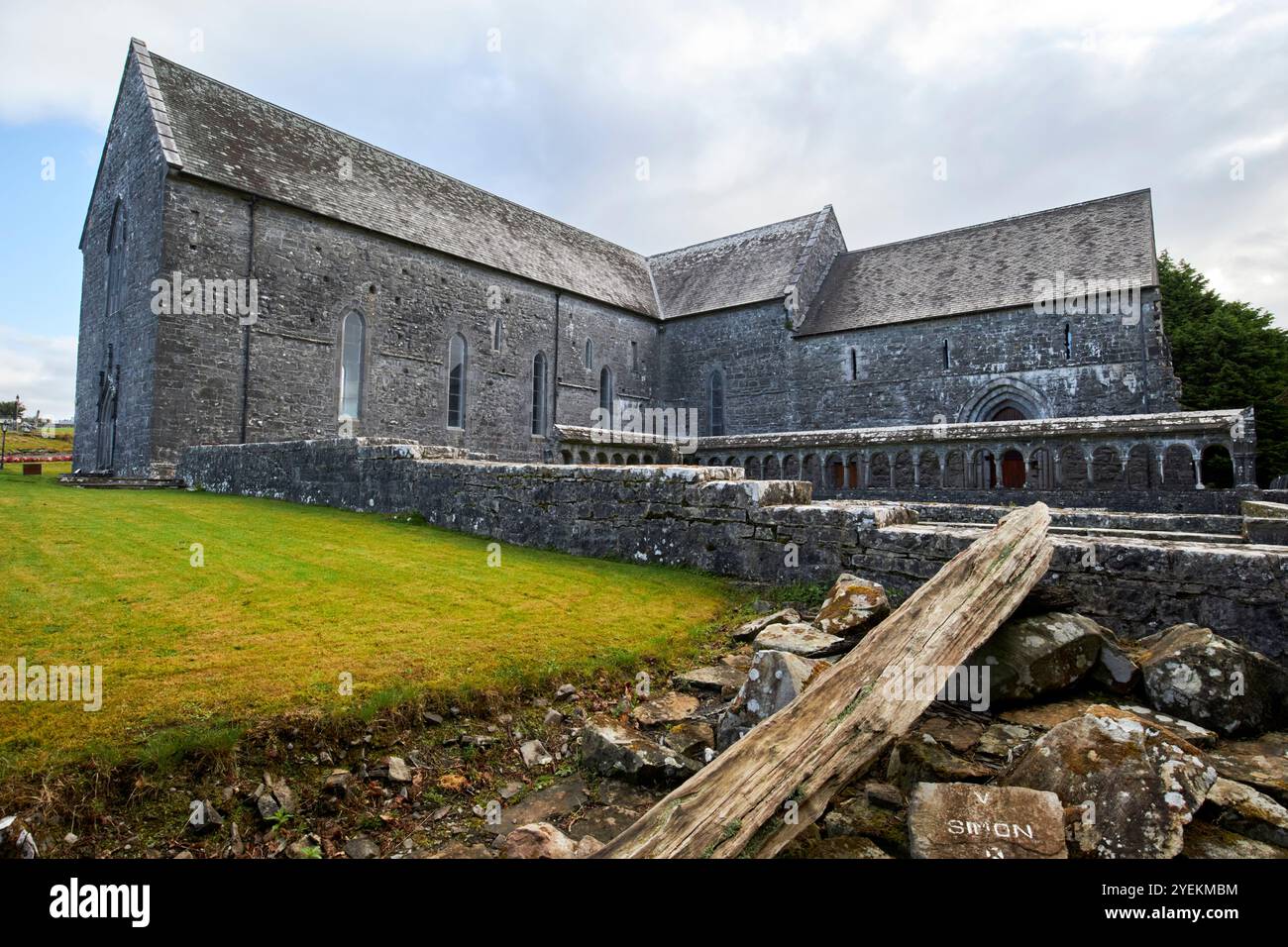 IndicatedFairy fort / earthen ringfort · 1711 yd
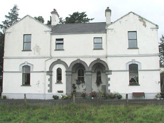 Doobeg Househouse · 1.2 mi
 CastleCastle, unclassified · 2.6 mi
 Castle (in Ruins)Castle, tower house · 2.6 mi
 Old Cave Burial GroundArchaeological place · 2.7 mi
 Tymon's HillMountain / peak · 2.9 mi
 Muckelty HillMountain / peak · 4.5 mi
 Caves of KeshCave · 8.4 mi
 Crow IslandIslet · 9.3 mi
 School CaveCave · 9.3 mi