What is recorded here
Indicated is a vanished ringfort in County Mayo, Ireland. It stood as a circular embanked enclosure large enough for a small community, yet ploughing and time erased its walls. A faint circular shadow remains in the pasture, waiting for someone to imagine the lives that moved through it before the ground forgot them.
In pasture, located on a slight rise. Ground rises gently to SW. This possible rath is shown on the 1838 and 1920 OS 6-inch maps as a roughly circular embanked enclosure (diam. c. 25-30m). It has been levelled. A slight subcircular undulation (diam. 25-28m) is visible at ground level.
Compiled by: Jane O'Shaughnessy
Date of upload: 26 June 2020
The monument record does not grant public access. Check the route and ask the landowner before entering private land.
- What survives
- Recorded monument
Places near here
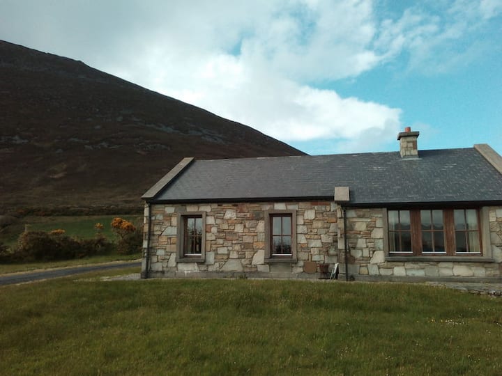 Doomore FortArchaeological place · 677 yd
 Indicated (1838).Enclosure · 1314 yd
 Musicans of DoocastleMemorial · 1320 yd
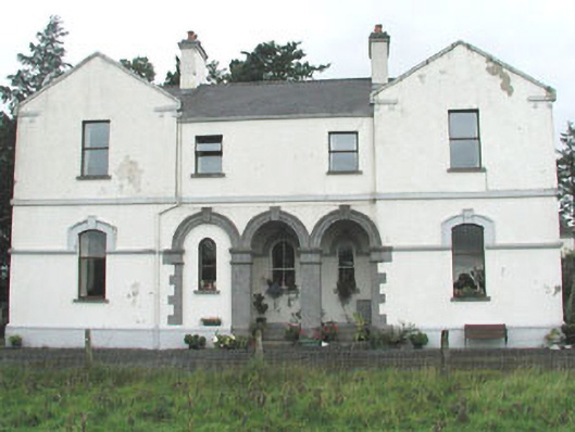 Doobeg Househouse · 1714 yd
 Castle (in Ruins)Castle, tower house · 2.5 mi
 CastleCastle, unclassified · 2.7 mi
 Tymon's HillMountain / peak · 2.7 mi
 Old Cave Burial GroundArchaeological place · 2.9 mi
 Muckelty HillMountain / peak · 4.7 mi
 Brother WalfridMemorial · 6.8 mi
 Caves of KeshCave · 8.1 mi
 Crow IslandIslet · 9.0 mi