
What is recorded here
Indicated is a ruined stone ringfort in rough Cork pasture, its low wall crumbling into grass and forgetting. It may have held a family, a herdsman or a fleeing child before becoming a fairy fort where human law stops and moonlight takes over. The gaps in the wall do not look like damage but like doors, waiting for someone who stops asking permission.
In rough pasture, on gentle ESE-facing slope. Roughly circular area (22m N-S; 24m E-W) defined by low arc of collapsed wall W->NE; stone wall NE->SSW forms part of surrounding field fence system. Narrow gaps in wall to NE and SE.
The above description is derived from the published 'Archaeological Inventory of County Cork. Volume 1: West Cork' (Dublin: Stationery Office, 1992). In certain instances the entries have been revised and updated in the light of recent research.
Date of upload/revision: 14 January 2009
The monument record does not grant public access. Check the route and ask the landowner before entering private land.
- What survives
- Recorded monument
Places near here
 Ring Fort / LiosArchaeological place · 318 yd
 Ballincolla VillageArchaeological place · 440 yd
 Cooks WoodWood · 510 yd
 Coastguard StationRuins · 556 yd
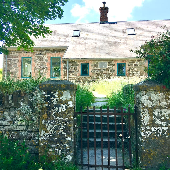 Strand of the Old HouseBeach / strand · 934 yd
 Long PointHeadland · 1001 yd
 walled gardenwalled garden · 1113 yd
 Seamarkhouse · 1193 yd
 Big BankMountain / peak · 1342 yd
 Eve IslandIslet · 1346 yd
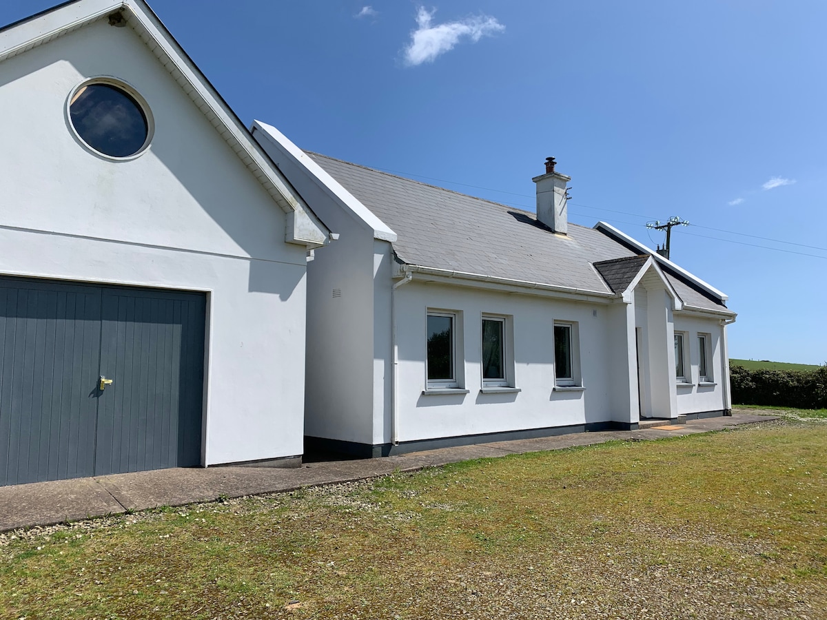 Tobar na gCapallSpring · 1381 yd
 Big HeightMountain / peak · 1444 yd
Other information
Photo: Credit not shown in the picture search · Rights wording not checked; contact us if this picture should be removed