What is recorded here
Situated on a slight S-facing slope. This site is not recorded on any OS maps, but is known locally as a raheen. It is a subcircular, grass-covered area (dims. 49m E-W; 45m N-S) defined by a field bank SE-W with an external fosse (Wth of base 2m; ext. D 0.65m) SW-W, and elsewhere by a scarp (H 0.3-0.6m) and traces of fosse (Wth 4-5m). A ramp entrance (Wth 3m) leading down to a pond at SE may be modern. An annexe survives as a fragment of an outer enclosure (Wth 27m N-S) surviving E-SW. It is defined by a scarp (H 0.7m) and outer fosse (Wth of top 8m; ext. D 0.3m) SE-SW. An E-W field bank provides the N edges of the surviving annexe. There is an entrance ramp (Wth 12m) through the perimeter of the annexe at S.
The above description is derived from the published 'Archaeological Inventory of County Wexford' (Dublin: Stationery Office, 1996). In certain instances the entries have been revised and updated in the light of recent research.
Compiled by: Michael Moore
Date of upload/revision: 13 April, 2012
The monument record does not grant public access. Check the route and ask the landowner before entering private land.
- What survives
- Recorded monument
Places near here
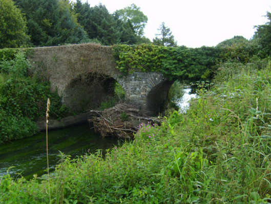 Boleany Bridgebridge · 1296 yd
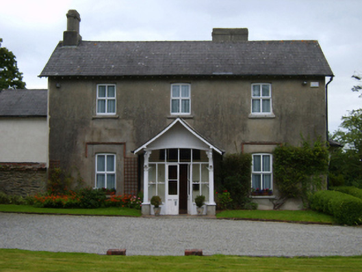 Ardamine Rectoryrectory/glebe/vicarage/curate's house · 1366 yd
 Enclosure in BallinageelogeEnclosure · 1573 yd
 Banoge HillMountain / peak · 1.3 mi
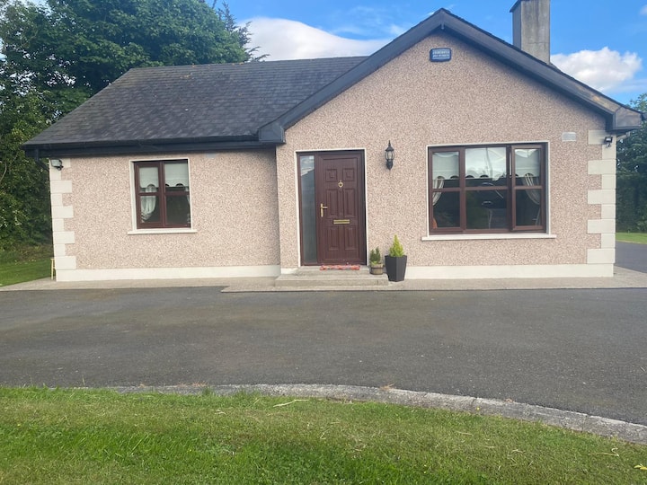 IndicatedCastle, motte and bailey · 1.5 mi
 Stone CrossCross, Wayside cross · 1.5 mi
 Carriganeagh RockMountain / peak · 1.6 mi
 Courtown Amusement CentreHeritage attraction · 1.7 mi
 Courtown WoodsWood · 1.9 mi
 Holm OakHolm Oak · 2.0 mi
 Kia Ora Mini FarmHeritage attraction · 3.0 mi
 Duffcarrig Rocks BeachBeach / strand · 3.0 mi