
What is recorded here
Situated on a low W-E spur. The faint cropmark of a circular area (diam. c. 35m) defined by a fosse (Wth c. 2-4m) is visible only on Google Earth (14/07/2018). The edge is uncertain and it may be a pond. It was first reported by Simon Dowling.
See the attached enhanced view from Google Earth
Compiled by: Michael Moore
Date of upload: 28 February 2020
A local fairy fort (ringfort/rath); wider significance not recorded.
The monument record does not grant public access. Check the route and ask the landowner before entering private land.
- What survives
- Recorded monument
Places near here
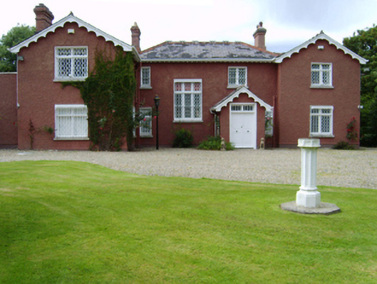 Ounavarra Househouse · 775 yd
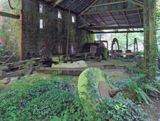 mill (water)mill (water) · 1082 yd
 Stone CrossCross, High cross · 1289 yd
 High Cross of KilbrideMonument · 1301 yd
 Courtown Amusement CentreHeritage attraction · 1752 yd
 Banoge HillMountain / peak · 1.1 mi
 Courtown WoodsWood · 1.1 mi
 Holm OakHolm Oak · 1.1 mi
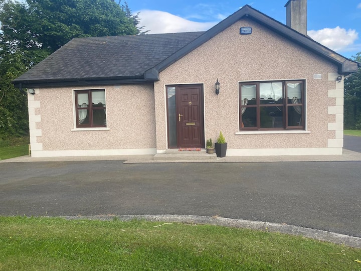 IndicatedCastle, motte and bailey · 1.3 mi
 Carriganeagh RockMountain / peak · 1.6 mi
 Duffcarrig Rocks BeachBeach / strand · 2.2 mi
 Kia Ora Mini FarmHeritage attraction · 2.2 mi
Other information
Photo: Credit not shown in the picture search · Rights wording not checked; contact us if this picture should be removed