What is recorded here
Situated on a slight S-facing slope. The rath (WX012-029001-) has an annexe surviving as a fragment of an outer enclosure (Wth 27m N-S) E-SW of the rath. It is defined by a scarp (H 0.7m) and outer fosse (Wth of top 8m; ext. D 0.3m) SE–SW. An E-W field bank provides the N edges of the surviving annexe. There is an entrance ramp (Wth 12m) through the perimeter of the annexe at S.
Compiled by: Michael Moore
Date of upload: 13 April, 2012
The monument record does not grant public access. Check the route and ask the landowner before entering private land.
- What survives
- Recorded monument
Places near here
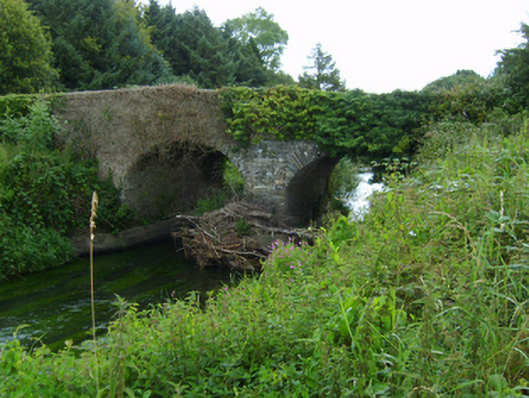 Boleany Bridgebridge · 1340 yd
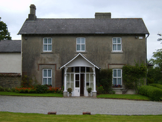 Ardamine Rectoryrectory/glebe/vicarage/curate's house · 1382 yd
 Enclosure in BallinageelogeEnclosure · 1617 yd
 Banoge HillMountain / peak · 1.4 mi
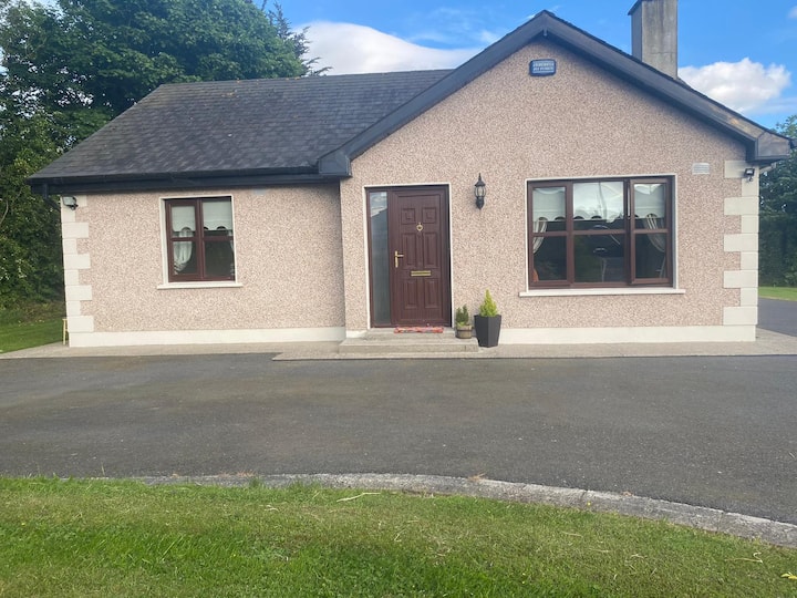 IndicatedCastle, motte and bailey · 1.5 mi
 Stone CrossCross, Wayside cross · 1.5 mi
 Carriganeagh RockMountain / peak · 1.6 mi
 Courtown Amusement CentreHeritage attraction · 1.7 mi
 Courtown WoodsWood · 1.9 mi
 Holm OakHolm Oak · 2.0 mi
 Duffcarrig Rocks BeachBeach / strand · 3.1 mi
 Kia Ora Mini FarmHeritage attraction · 3.1 mi