
What is recorded here
Indicated is a fairy fort or stone ringfort in Ballagh (athlone North By.),carrigan Beg, County Roscommon, Ireland. Indicated is a D-shaped stone ringfort on the crest of Red Hill, positioned between Lough Ree and the turlough Lough Funshinagh. Its grass-covered boundary measures roughly 25.6m by 25m, though a field wall now cuts through the northwest section. Another fort called Rath sits 60m to the northwest.
On the crest of the SE-facing slope of Red Hill with Lough Ree c. 6km to the E and Lough Funshinagh, a large turlough, c. 600m to the W. This is a D-shaped grass-covered area (int. dims 25.6m ENE-WSW; c. 25m NNW-SSE) defined by a grass-covered stone spread (Wth 3.4-5m; int. H 0.5m; ext. H 0.4m) NNE-S-W which is truncated by a NE-SW field wall and townland boundary with Ballagh at NW, and it does not survive visibly to the NW of it. There is no identifiable original entrance. Rath (RO045-090----) is c. 60m to the NW.
Compiled by: Michael Moore
Date of upload: 24 August 2010
The monument record does not grant public access. Check the route and ask the landowner before entering private land.
- What survives
- Recorded monument
Places near here
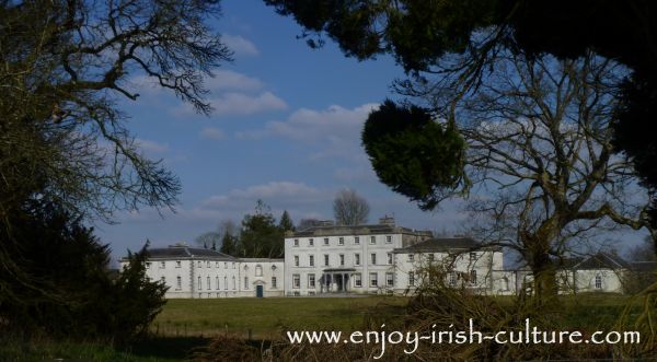 Embanked enclosureFairy fort / earthen ringfort · 500 yd
 InchmoreIslet · 1210 yd
 InchihicleleyIslet · 1514 yd
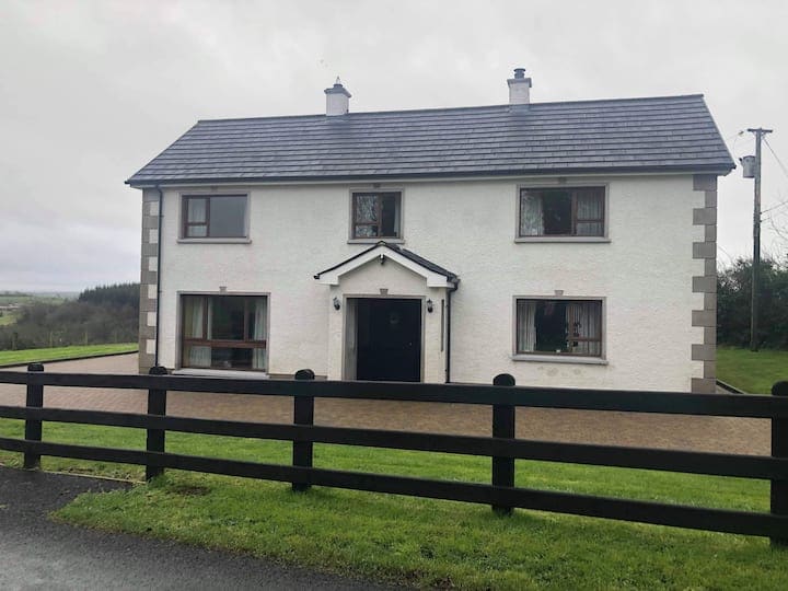 Enclosure in Ballagh (athlone North By.)Enclosure · 1584 yd
 Castle (Site of)Castle, unclassified · 1.9 mi
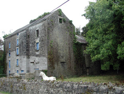 Lecarrow Millmill (water) · 2.1 mi
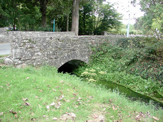 Historic buildingOfficially recorded historic building · 2.2 mi
 Curraghboy CastleCastle, unclassified · 3.4 mi
 Kilmore BayBay · 3.4 mi
 Blackbrink BayBay · 3.5 mi
 Hangman's HillMountain / peak · 4.0 mi
 St. John's WoodWood · 4.1 mi
Other information
Photo: Credit not shown in the picture search · Rights wording not checked; contact us if this picture should be removed