
What is recorded here
This site is marked as a circular enclosure on the first edition of the OS map, and is titled 'Caher' on the OS Fair Plan. No visible trace of it survives and it is not remembered locally. It was situated in rough pasture on the NE side of Beenarourke.
The above description is derived from A. O'Sullivan and J. Sheehan (compilers), 'The Iveragh peninsula: an archaeological survey of South Kerry'. Cork University Press (1996), no. 628. In certain instances the entries have been revised and updated in the light of recent research.
Date of upload: 29 July 2013
This remains an important historical record, but the official description says the monument is no longer visible or has been destroyed. The monument record does not grant public access. Check the route and ask the landowner before entering private land.
- What survives
- No visible remains or recorded as destroyed
Places near here
 Loher Stone FortArchaeological place · 467 yd
 Field boundary in An LótharField boundary · 501 yd
 Church in An LótharChurch · 647 yd
 Com An ChisteViewpoint · 768 yd
 Binn Uí RuaircMountain / peak · 802 yd
 Farraniaragh MountainMountain / peak · 1416 yd
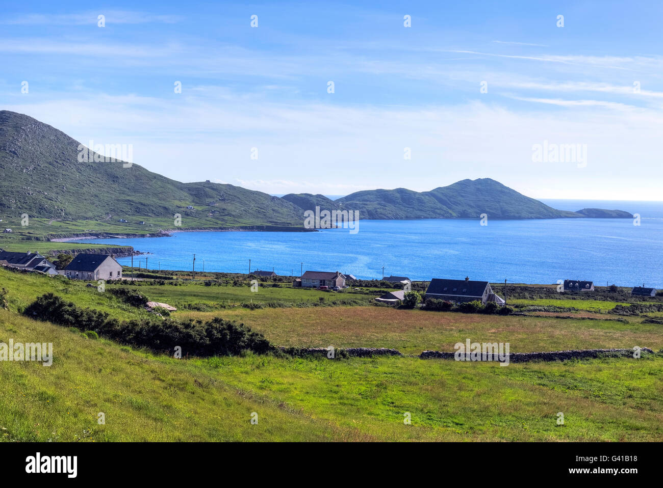 Hog's Head Signal TowerRuins · 1.4 mi
 Lamb's IslandIslet · 1.6 mi
 Derrynane Bay Beach / Trá Bhá Doire FhionáinBeach / strand · 1.8 mi
 Páirc Náisiúnta Stairiúil Dhoire Fhíonáin / Derrynane National Historic ParkNature reserve · 1.9 mi
 Derrynane House / Teach Dhoire FhionáinHeritage attraction · 2.0 mi
 Abbey IslandIslet · 2.0 mi
Other information
Photo: Credit not shown in the picture search · Rights wording not checked; contact us if this picture should be removed