
What is recorded here
In pasture. Indicated on the 1st (1839) ed. OS 6-inch map as an oval enclosure (dims. c. 53m NW-SE; c. 45m NE-SW) with a field boundary running roughly NE-SW c. 5m N of the enclosure. The enclosure is similarly shown on the 1900 revision and 25-inch OS map. Satellite imagery (Google Earth imagery date 25 April 2021) shows trees and scrub around the perimeter and the interior is relatively free of vegetation.
Compiled by: Jean Farrelly
Date of upload: 1 March 2022
The monument record does not grant public access. Check the route and ask the landowner before entering private land.
- What survives
- Recorded monument
Places near here
 Church (in ruins)Church · 946 yd
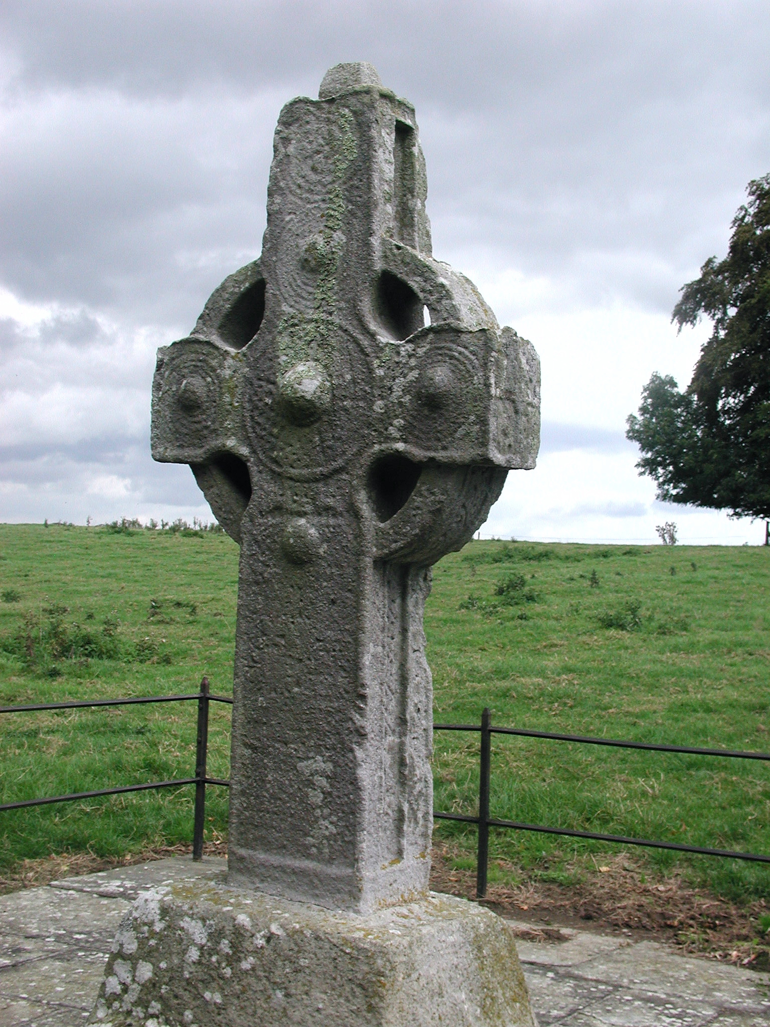 CrossCross, High cross · 954 yd
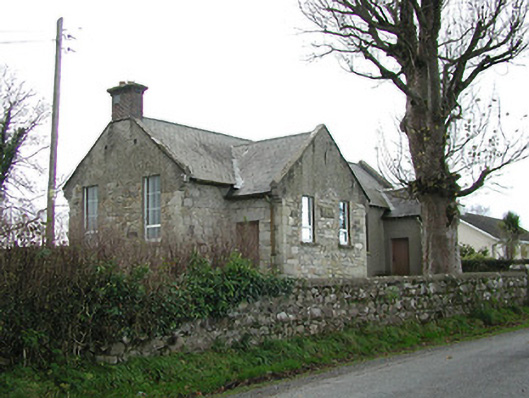 Skeaghvasteen National Schoolschool · 1459 yd
 ToberkyleHoly well · 1.1 mi
 Tinnakeenly BogForest · 1.2 mi
 The Burrow FieldForest · 1.2 mi
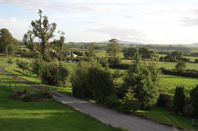 CroghanMountain / peak · 1.6 mi
 CastleCastle, motte · 2.0 mi
 Drumroe Castle (ruins)Castle · 2.1 mi
 The PoundMemorial · 2.9 mi
 Keating's WellSpring · 2.9 mi
 Monastic MillsMemorial · 3.0 mi
Other information
Photo: Credit not shown in the picture search · Rights wording not checked; contact us if this picture should be removed