What is recorded here
Internal diam. 18m NW-SE
This rather disturbed univallate rath is located on the lower NW side of a W spur of Killonecaha mountain, overlooking St Finan's Bay to W. A drystone wall overlies the enclosing earthen bank along the NE sector, and the remainder of its circumference is largely obscured by a dense growth of vegetation. There is much loose stone scattered along the flanks of the bank, which may have been drystone-faced. The bank is on average .5m high externally, and is 1.5m wide. A blocked opening to a Man-made underground passage (KE097-001001-) is located at its external base at NW. Much clearance material has been dumped in the uneven and overgrown interior of the site.
The above description is derived from A. O'Sullivan and J. Sheehan (compilers), 'The Iveragh peninsula: an archaeological survey of South Kerry'. Cork University Press (1996), no. 451. In certain instances the entries have been revised and updated in the light of recent research.
Date of upload: 28 July 2013
The monument record does not grant public access. Check the route and ask the landowner before entering private land.
- What survives
- Recorded monument
Places near here
 Cuas an tSrutháin/Cove of the StreamBay · 400 yd
 Tráigh LeagaighBeach / strand · 444 yd
 Cuas na gCré BhuíBay · 464 yd
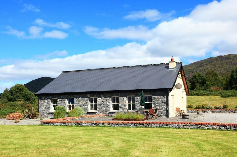 Cill MhaolmhuirneArchaeological place · 729 yd
 Indicated (1846).Hut site · 755 yd
 Tráigh na CilleBeach / strand · 842 yd
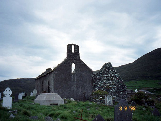 Séipéal na Cille [Killemlagh Catholic Chapel]church/chapel · 863 yd
 Cuas a' PhúcaCave · 930 yd
 Chaytor's StablesRuins · 1336 yd
 KillurlyMountain / peak · 1374 yd
 Bogha SínMountain / peak · 1.9 mi
 Liberator "63939" monumentMemorial · 1.9 mi