What is recorded here
Situated on a gentle E-facing slope. A nave (int. dims. 11.4m x 5.7m) and chancel (int. dims. 7m x c. 3.25m) church, defined by the foundations of an apparently unmortared rubble wall (max. H 1.3m). The inner face of the wall is better preserved than the outer face which is masked by earth and stone rubble forming a bank. The nave is divided from the chancel by a low wall which seems to be an integral part of the structure. The door appears to have been in the S wall. A triangular granite font with rounded angles and a central circular basin lies at the W end of the nave. The church is at the centre of an oval enclosure (dims. c. 50m N-S x c. 40m E-W) defined by an earthen bank (Wth 2.5m; ext. H 0.8-1m; int. H 0.4m) with slight indications of a fosse at E-SE. No indication of an entrance and no grave-markers or internal features apart from the church. There is an earthfast bullaun stone with circular basin (diam. 0.2m; D 0.1m) c. 80m NE of enclosure. The field in which the site stands is known locally as the 'churchyard field'.
The above description is derived from the published 'Archaeological Inventory of County Wicklow' (Dublin: Stationery Office, 1997). In certain instances the entries have been revised and updated in the light of recent research.
Date of upload: 13 February 2013
The monument record does not grant public access. Check the route and ask the landowner before entering private land.
- What survives
- Recorded monument
Places near here
 Font in Ashtown OR BallinafunshogeFont · 9 yd
 Saint Laurence's National Schoolschool · 672 yd
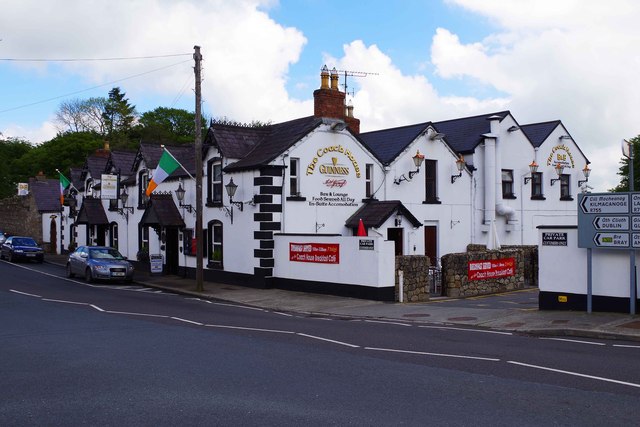 hotelhotel · 679 yd
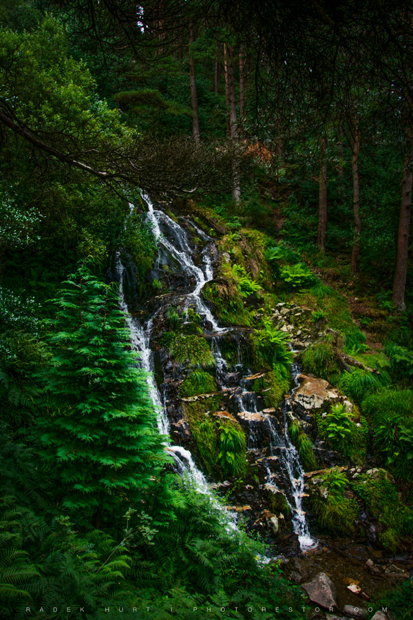 BallinafunshogeMountain / peak · 1.4 mi
 Victor's WayHeritage attraction · 1.4 mi
 Enclosure in SraghmoreEnclosure · 1.6 mi
 BallinacorbegMountain / peak · 1.9 mi
 Ballinastoe WoodForest · 2.6 mi
 Coon BeachBeach / strand · 2.7 mi
 Castle Kevin (in Ruins)Castle, motte and bailey · 3.0 mi
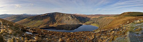 Lough TayMountain lake · 3.0 mi
 J.B. Malone MemorialMemorial · 3.1 mi