What is recorded here
Indicated is a small circular crannog in the Erne River, County Cavan, holding a flat-topped mound of whitish clay and stones. Charcoal, burnt bone and old bricks once dotted its summit, suggesting people lived there, fired heat and left behind the ordinary residue of daily existence. The river still moves around it, keeping the shape intact while removing most of the story.
Small roughly circular island (diam. c. 25m) in the Erne River, c. 25m from the shoreline. Marked on all OS eds. Davies (1942, 19; NMI Survey 1941) described a flat-topped mound (dims, of summit 8.8m x 6m; H 2.4m) composed of whitish clay and stones, surrounded by a few piles. Some charcoal, scraps of burnt bone and old bricks were noted on the summit of the mound.
The above description is derived from the published 'Archaeological Inventory of County Cavan' (Dublin: Stationery Office, 1995). In certain instances the entries have been revised and updated in the light of recent research.
Date of upload/revision: 22 December 2008
The monument record does not grant public access. Check the route and ask the landowner before entering private land.
- What survives
- Recorded monument
Places near here
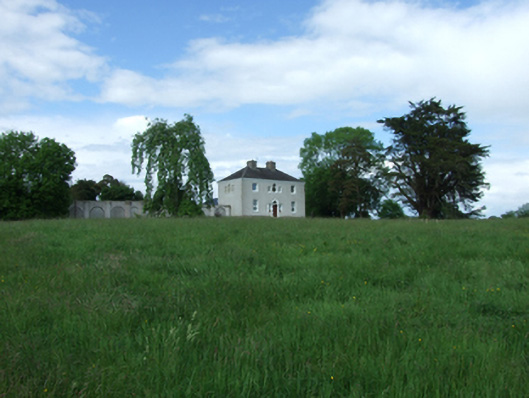 Ashgrove Housecountry house · 535 yd
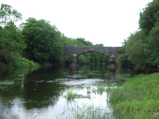 Baker's Bridgebridge · 628 yd
 Enclosure in AshgroveEnclosure · 908 yd
 AshgroveMountain / peak · 978 yd
 DrumcalpinMountain / peak · 1178 yd
 IndicatedFairy fort / stone ringfort · 1457 yd
 Annagh Lough BeachBeach / strand · 1.1 mi
 Nahillah ParkWood · 1.4 mi
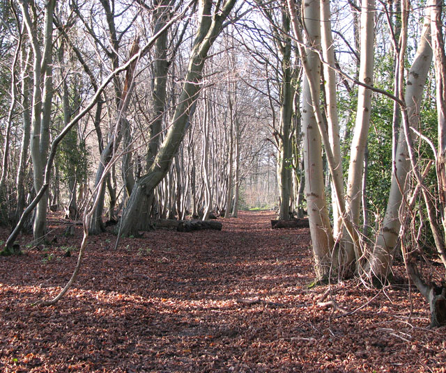 Kilnaglare Lower WoodForest · 1.6 mi
 InishmuckIsland · 1.6 mi
 Giants GraveArchaeological place · 2.2 mi
 Belturbet Heritage Railway Station MuseumMuseum · 2.4 mi