What is recorded here
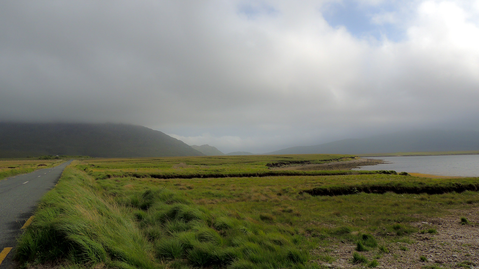
Indicated was a crannog in Ballymore Lough, recorded on maps from 1838 to 1922 before the water withdrew. The lake end has since become boggy ground covered in myrtle, grasses and gorse, erasing the island outline. Whatever life occurred there now belongs to the soil, remembered only through the shape drawn on old paper.
In Ballymore Lough. A large irregular- or suboval-shaped island (60m NE−SW; c. 30m NW−SE) is shown on the 1838 and 1922 OS 6-inch maps in the narrow SW end of Ballymore Lough.
This end of the lake has largely dried out to an area of boggy ground, colonised by bog myrtle, grasses and sedges, scrub willows and gorse. The outline of the island cannot be discerned.
Compiled by: Jane O’Shaughnessy
Date of upload: 10 June 2020
The monument record does not grant public access. Check the route and ask the landowner before entering private land.
- What survives
- Recorded monument
Places near here
 IndicatedEnclosure · 207 yd
 Enclosure in MullaghawnyEnclosure · 849 yd
 Catholic Church of the Immaculate Conception and Saint Josephchurch/chapel · 1051 yd
 farm housefarm house · 1504 yd
 Castle (in ruins)Castle, unclassified · 2.9 mi
 Gull IslandIslet · 3.5 mi
 Cloghans CastleCastle, tower house · 4.7 mi
 Humbert MonumentMemorial · 4.9 mi
 Foxford Woollen MillsHeritage attraction · 5.0 mi
 Admiral William BrownMemorial · 5.0 mi
 Drummin ForestForest · 5.1 miBattle of Ballinabattle · 5.2 mi