
What is recorded here
In pasture, on gentle E-facing slope. Circular area (20m N-S; 20m E-W) enclosed by earthen bank (int. H 1.7m), stone-faced in parts; shallow external fosse (max. D 0.4m). Gap in bank to NE, ESE and W; W gap (Wth 4m) partially blocked by stone wall. Semicircular mound (L 8m; Wth 5m; H 0.8m) of dumped material beside shallow depression, inside S bank.
The above description is derived from the published 'Archaeological Inventory of County Cork. Volume 1: West Cork' (Dublin: Stationery Office, 1992). In certain instances the entries have been revised and updated in the light of recent research.
Date of upload/revision: 14 January 2009
The monument record does not grant public access. Check the route and ask the landowner before entering private land.
- What survives
- Recorded monument
Places near here
 Seomraí Faoi ThalamhCave · 328 yd
 Children's burial ground in CarrigillihyChildren's burial ground · 504 yd
 Cill na LeanbhArchaeological place · 513 yd
 Faill na BristeCliff · 637 yd
 Carraig-ín MhóireNamed rock · 723 yd
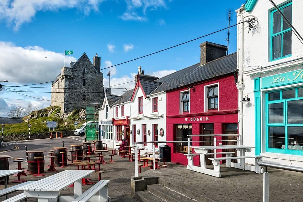 Cúisín DarraíBeach / strand · 761 yd
 Trá na mBóBeach / strand · 780 yd
 Seaview Housefarm house · 1160 yd
 An Gróibin ThuaidhWood · 1160 yd
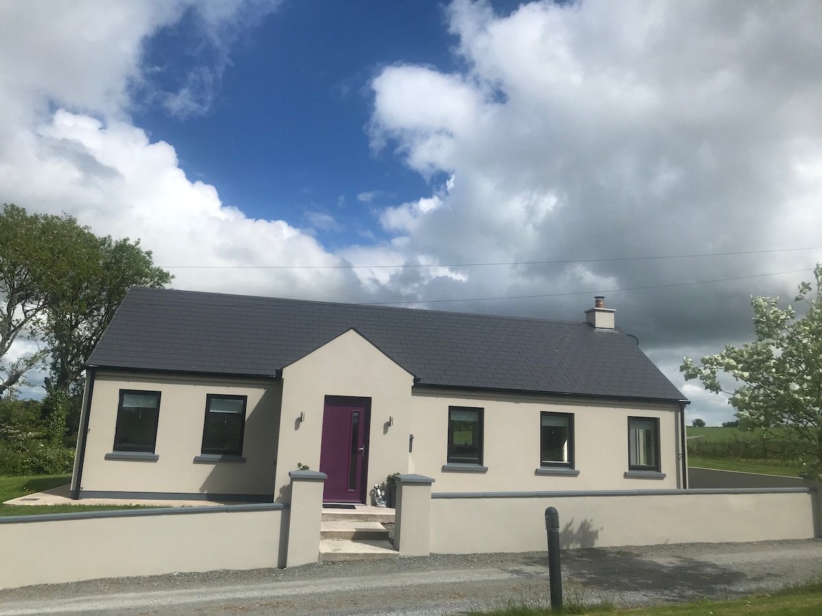 Péicin Thalamh na GainmheMountain / peak · 1394 yd
 The Old Schoolhouseschool · 1436 yd
 Castle IreCastle · 1.1 mi
Other information
Photo: Credit not shown in the picture search · Rights wording not checked; contact us if this picture should be removed