What is recorded here
Immediately SE of a tower house (KD008-008001-). A very poorly preserved rectangular area (dims. L 35m NW-SE; Wth 27m) is defined by a low grassed-over stony bank (Wth 2-3m; H 0.2-0.4m) along the NE, SE and SW, and by the tower house along part of its NW side. Along the SE there are traces of an outer, shallow fosse (Wth 2m; D 0.3m) which runs off to the NE, beyond the site limits.
Compiled by: Gearóid Conroy
Date of upload: 10 June 2011
A local castle; wider significance not recorded.
The monument record does not grant public access. Check the route and ask the landowner before entering private land.
- What survives
- Recorded monument
Places near here
 Castle in RuinsCastle, tower house · 27 yd
 Church (in Ruins)Church · 363 yd
 Ecclesiastical enclosure in ArdkillEcclesiastical enclosure · 372 yd
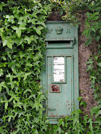 post boxpost box · 572 yd
 Enclosure in ArdkillEnclosure · 584 yd
 Mylerstown Castle in RuinsCastle, tower house · 1.2 mi
 Horse-chestnutHorse-chestnut · 2.8 mi
 Buggan's WoodWood · 3.6 mi
 Lullymore Heritage ParkHeritage attraction · 6.4 mi
 The Fairy BowerHeritage attraction · 6.5 mi
 Grand Canal WayVisitor information · 8.1 mi
 Sli na Slainte - mapVisitor information · 9.6 mi