What is recorded here
In mixed tillage and pasture on a N-S running ridge with excellent views throughout. Recorded on the first (1837) and Cassini (1920) editions of the OS 6-inch map and on the intervening OS 25-inch map (1893) which depicts a circular enclosure (diam. c. 50m), probably a ringfort. No visible surface traces survive however, the monument is visible as the cropmark of a back-filled fosse enclosing a circular area on MapGenie aerial imagery (2013-2018) and on Google Earth aerial imagery (13-5-2016).
Date of visit: 14-11-2025
Compiled by: Gearóid Conroy
The monument record does not grant public access. Check the route and ask the landowner before entering private land.
- What survives
- Recorded monument
Places near here
 IndicatedFairy fort / earthen ringfort · 1017 yd
 Wall monument in StradeWall monument · 1067 yd
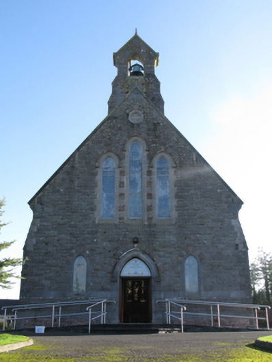 Catholic Church of Saint Peter and Saint Paulchurch/chapel · 1081 yd
 LismoreFairy fort / earthen ringfort · 1094 yd
 Michael DavittMemorial · 1171 yd
 Ballylahan Castle in RuinsCastle, Anglo-Norman masonry castle · 1.0 mi
 Shonagawna Castle in RuinsCastle, unclassified · 1.5 mi
 Admiral William BrownMemorial · 4.2 mi
 Foxford Woollen MillsHeritage attraction · 4.3 mi
 Oak WoodWood · 4.3 mi
 National Museum of Ireland, Country LifeMuseum · 4.6 mi
 Sunken GardenWood · 4.7 mi