What is recorded here
The early church the site and the site of the parish church of Ardbraccan (ME025-022----) is located on a rise in a level landscape and is within a rectangular graveyard (dims c. 80m E-W; c. 65m N-S) defined by masonry walls (H c. 3m). According to Dopping's Visitation (1682-5) the church was already enclosed by a stone wall at that time (Ellison 1972, 10). The Montgomery tomb and other fragments are within the graveyard. Archaeological testing (15E0336) by A. Collins c. 40m W of the graveyard produced no related material (excavations.ie 2015:344), and further testing (18E0524) by E. Sullivan (2019) in a small area (dims c. 10m x c. 4m) c. 45m SW of the graveyard had a similar result.
See attached general view of the church and graveyard from the E.
Compiled by: Michael Moore
Date of upload: 3 July, 2014
Amended: 5 February 2021, 9 April, 2021
The monument record does not grant public access. Check the route and ask the landowner before entering private land.
- What survives
- Recorded monument
Places near here
 Saint Ultan's Church (Ardbraccan)church/chapel · 21 yd
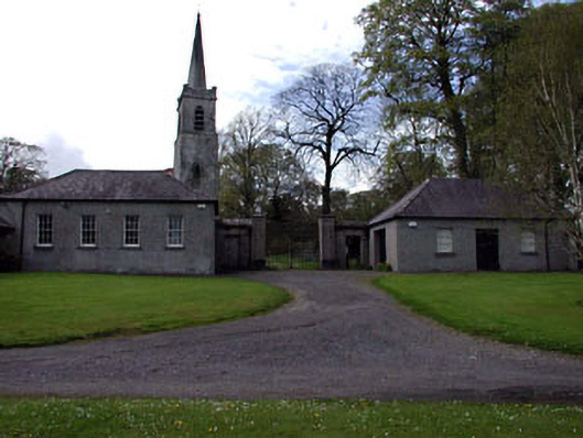 Ardbraccan National Schoolschool · 54 yd
 Fulacht fia in ArdbraccanFulacht fia · 1188 yd
 DurhamstownMountain / peak · 1272 yd
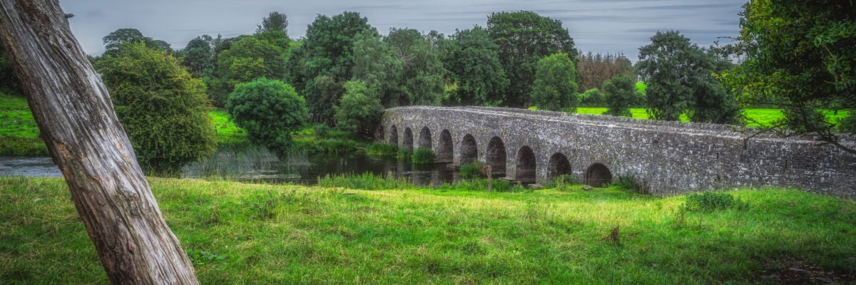 Hut site in ArdbraccanHut site · 1318 yd
 Liscartan CastleCastle, tower house · 1.0 mi
 Rathaldron Ho.Castle, tower house · 1.2 mi
 BohermeenMountain / peak · 1.3 mi
 The New Line RoadMemorial · 1.4 mi
 Nangle CourtMemorial · 2.2 mi
 Donaghmore Round TowerHeritage attraction · 3.6 mi
 Laurel CoverWood · 3.6 mi