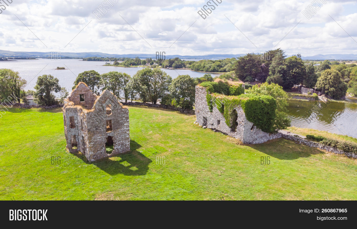
What is recorded here
Indicated is a ruined ringfort on a low Galway hill where floodwater still erases its eastern edge. Massive limestone blocks form an unbroken arc from southwest through north to northeast, but a narrow boreen cuts the circle and the southeast wall has vanished entirely. The fort exists only where the land remembers it, losing itself to water and forgetting its own shape.
On a low hill in scrubland subject to flooding. Roughly circular cashel (D 32m) defined by a drystone wall, composed of massive limestone blocks, from SW through N to NE. A boreen cuts the monument at NE and SW and no visible surface trace survives to SE of it.
The above description is derived from the published 'Archaeological Inventory of County Galway Vol. II - North Galway'. Compiled by Olive Alcock, Kathy de hÓra and Paul Gosling (Dublin: Stationery Office, 1999).
Date of upload: 05 August 2010
The monument record does not grant public access. Check the route and ask the landowner before entering private land.
- What survives
- Recorded monument
Places near here
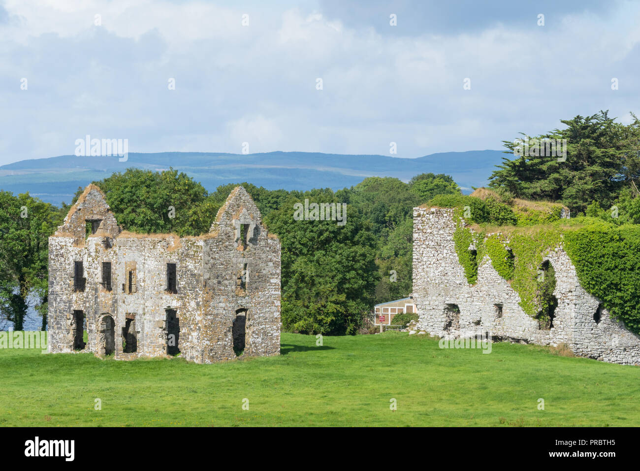 Enclosure in AnnaghkeenEnclosure · 597 yd
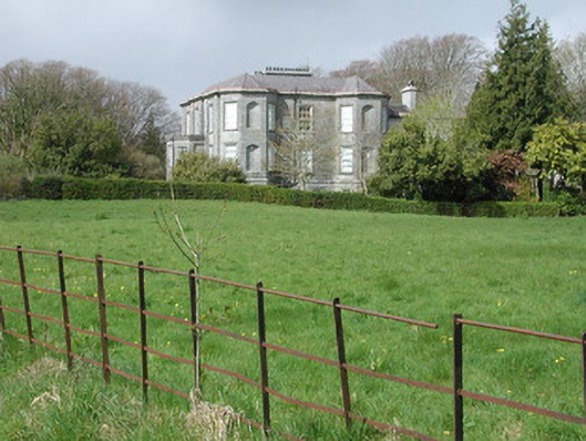 Clydagh Housecountry house · 1002 yd
 Country house in AnnaghkeenCountry house · 1289 yd
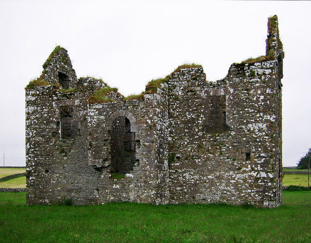 Annaghkeen Castle (in Ruins)Castle, Anglo-Norman masonry castle · 1318 yd
 Annaghkeen CastleCastle · 1318 yd
.jpg?width=1280) Court tomb in CarrownakibCourt tomb · 1352 yd
Court tomb in CarrownakibCourt tomb · 1352 yd BallynacreggaWood · 1581 yd
 Freeheen IslandIslet · 1.2 mi
 Rabbit IslandIslet · 1.5 mi
 Ross Errilly FriaryHeritage attraction · 3.3 mi
 Brigit's GardenHeritage attraction · 4.0 mi
 Annagh WoodWood · 4.5 mi
Other information
Photo: Credit not shown in the picture search · Rights wording not checked; contact us if this picture should be removed