What is recorded here
In rough pasture, situated on a steep W-facing hillside. Slightly raised, broadly oval area (25m E-W; 24.2m N-S) defined by a very low scarp. The interior was used as a children’s burial ground (MA014-048001-); low, uninscribed upright stones are visible.
Compiled by: Jane O'Shaughnessy
Date of upload: 22 September 2016
The monument record does not grant public access. Check the route and ask the landowner before entering private land.
- What survives
- Recorded monument
Places near here
 Enclosure in BallinglenEnclosure · 131 yd
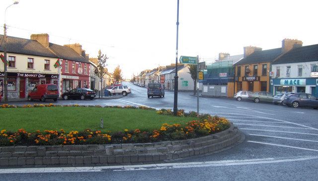 IndicatedFairy fort / earthen ringfort · 636 yd
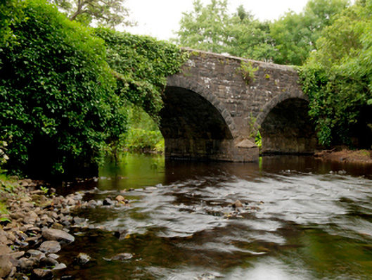 Ballinglen Bridgebridge · 892 yd
 Castle (in Ruins)Castle, tower house · 1673 yd
 Lisheen Grave YardArchaeological place · 1.1 mi
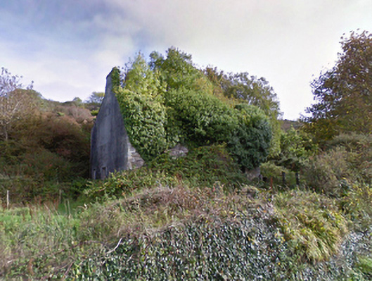 mansemanse · 1.8 mi
 Bawn in CarrickanassBawn · 3.1 mi
 Ballycastle BeachBeach / strand · 3.6 mi
 BlowholeCliff · 5.2 mi
 Céide FieldsArchaeological place · 5.4 mi
 PollatarriveCliff · 5.5 mi
 Céide Fields Visitor CentreVisitor information · 5.7 mi