What is recorded here
Indicated is an oval ecclesiastical enclosure on the south shore of Lough Mask, associated with St Brendan of Clonfert. Its broad clay bank still holds a church, graveyard, cross-inscribed pillar-stone and inscribed slab within gently undulating woodland. The place seems to preserve a small Christian settlement where stone, memory and lake light still belong together.
In a gently undulating area of woodland close to S shore of Lough Mask. Oval enclosure (E-W 200m, N-S 150m) associated with St Brendan of Clonfert (Gwynn and Hadcock 1970, 402). Defined by a stone-faced clay and rubble bank (Wth 4-5m, H 0.4m) which has modern entrances at S and WSW. It contains a church (GA027-034----), graveyard (GA027-034001-), cross-inscribed pillar-stone (GA027-034003-) and an inscribed slab (GA027-034004-) (Higgins 1987, 279, 381).
The above description is derived from the published 'Archaeological Inventory of County Galway Vol. I - West Galway'. Compiled by Paul Gosling (Dublin: Stationery Office, 1993).
Date of upload: 05 August 2010
An oval early-medieval ringfort known as An Choill Bheag Íochtair, located near the south shore of Lough Mask, is associated with St Brendan of Clonfert. It features a stone-faced bank and is described in early archaeological sources as a defined enclosure, reflecting both its historical and possible ecclesiastical significance.
The monument record does not grant public access. Check the route and ask the landowner before entering private land.
- What survives
- Recorded monument
Places near here
 Rosshill Abbey (in ruins)Church · 27 yd
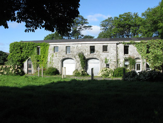 Rosshill Lodgestables · 623 yd
 Cross in UnknownCross · 1034 yd
 Coill na FaircheWood · 1144 yd
 Ballindeonagh Castle (in ruins)Castle, unclassified · 1303 yd
 Castle (in Ruins)Castle, unclassified · 1.3 mi
 Ecclesiastical site in Saints IslandEcclesiastical site · 1.3 mi
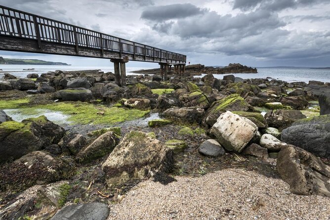 Inishgleasty RockIslet · 1.7 mi
 Rock IslandIslet · 1.9 mi
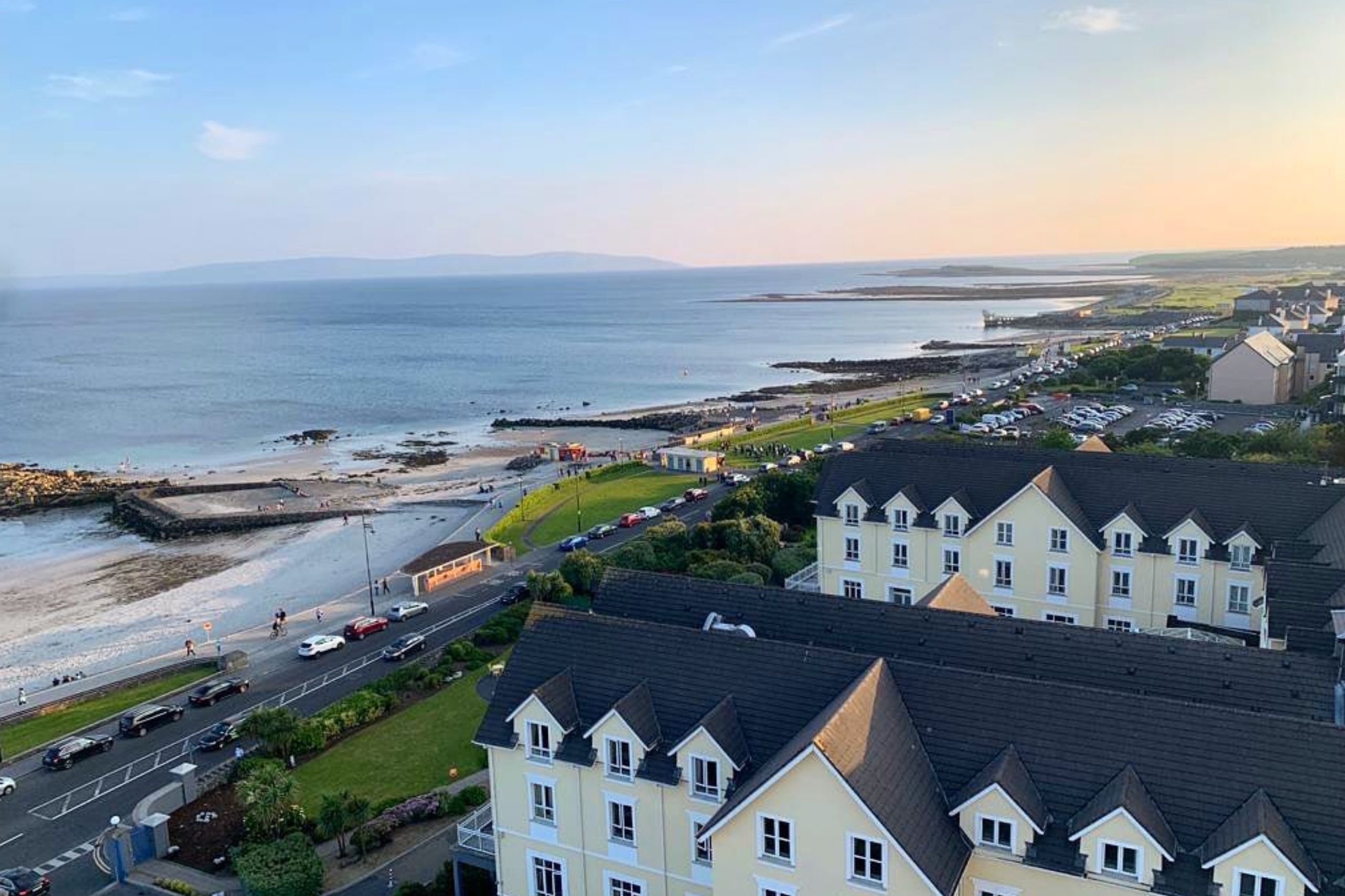 Golden BayBay · 2.7 mi
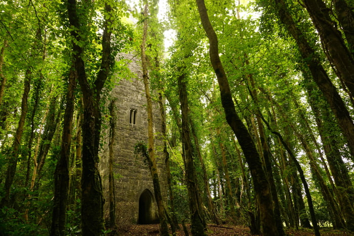 Ard na Gaoithe WoodsForest · 2.8 mi
 Binn ShléibheMountain / peak · 2.9 mi